June 11, 2002
7 min. read
This post is part of the Trans-Am series.
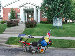
I got to bed late again, after typing up yesterday’s travelogue. I was out of the room just before 11, and I headed over to Long John Silvers. I knew that it wouldn’t be the best food in the heat, but it sounded really good. Turns out that I didn’t eat that much fried stuff, and didn’t have a problem with it later in the day. Not the best diet, but I haven’t had Long John Silvers in quite a while and it was good.
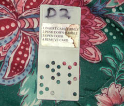
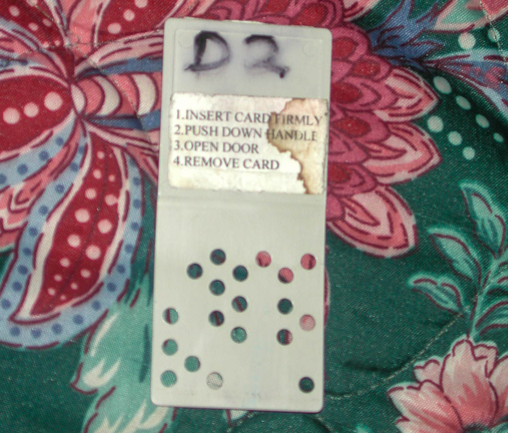
I took a picture of the motel key, which I thought was really interesting. However, it is also east to duplicate. I also wondered if it requires both open and blocked, or if all open or all blocked would work. Weird thoughts from an engineer.
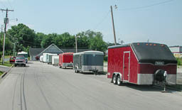
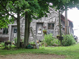
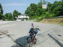
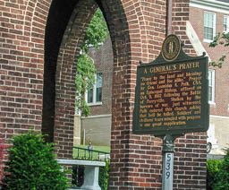
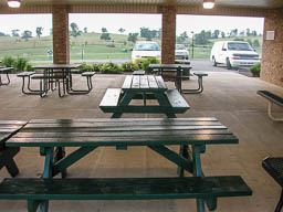
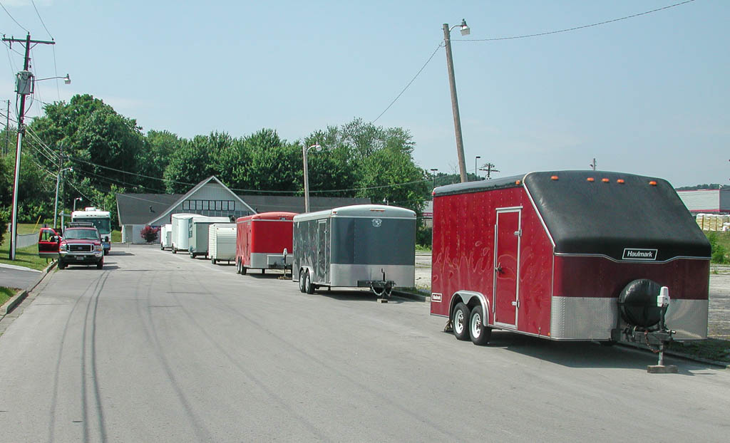
I photographed the vehicles and trailers that were used to haul in the Model-Ts to the area. I had not noticed them last night.

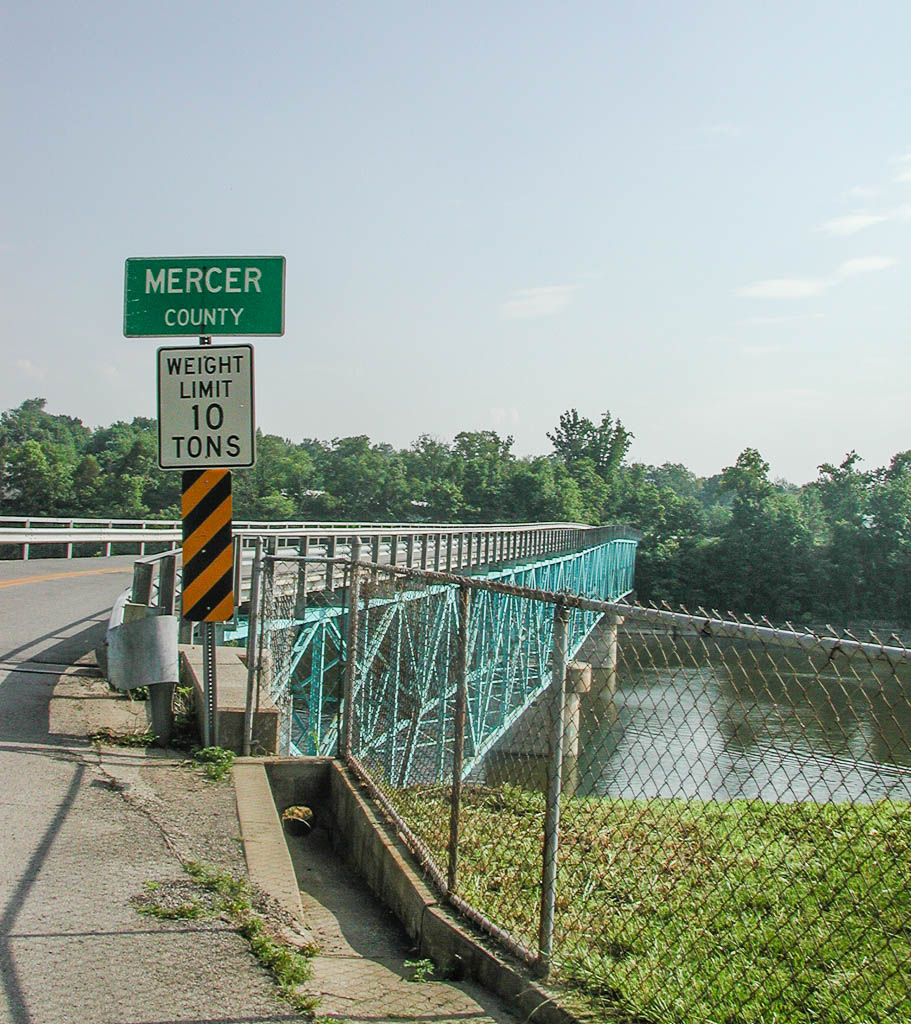
I had thought that I stopped at 595 and I-75, but the cross street I stayed on was Hwy 21. I figure out a 2 mile route to get back on track and started out of Berea on Hwy 595. There is a whole bunch of historical places to stop in Berea, but as the tour has been going on, I have been leaning more away from the organized sites and more towards meeting people and enjoying the out of the way places.

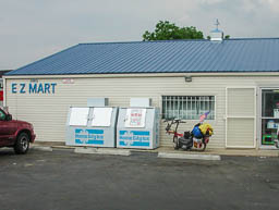
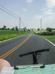
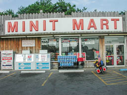
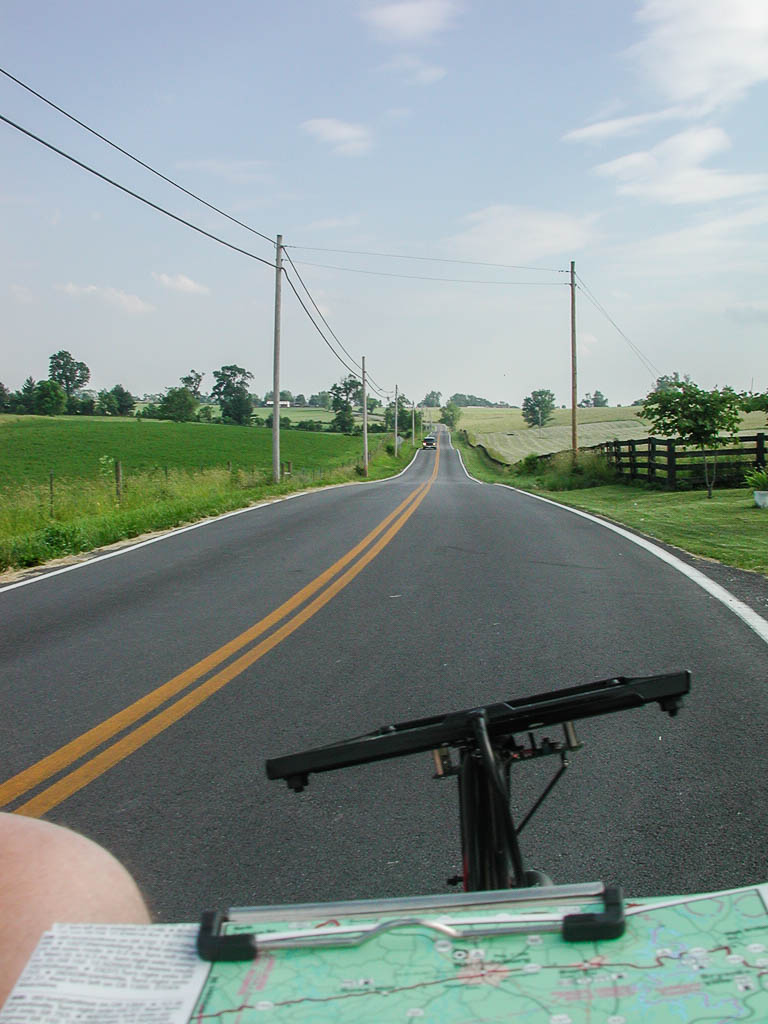
Again I started seeing the groceries and restaurants closed along the way. I found a place open about 7 miles past Kirksville, just before turning onto 563. I picked up a Gatorade and cooled down a little. It was starting to get pretty hot. The hottest I saw was 95 degrees on a particularly sunny section. The roads today were constantly rolling, with many short but steep climbs. There usually wasn’t enough downhill to push and keep adding energy to the top. I worked my gears quite a bit, all day.


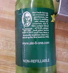
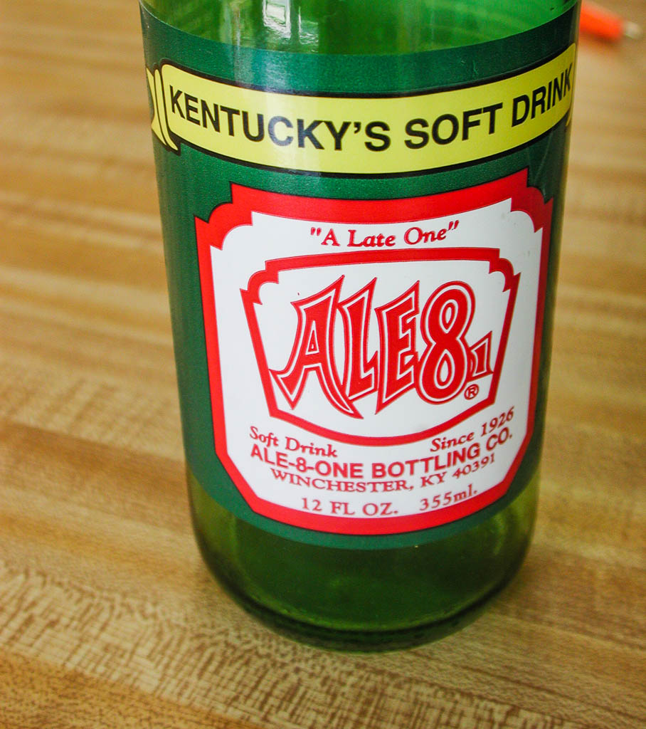
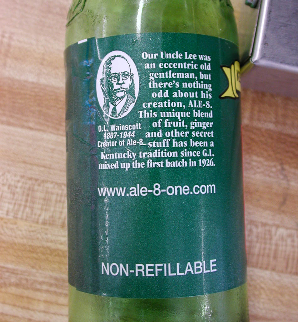
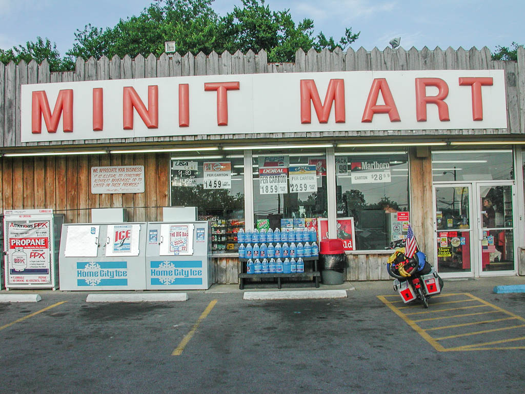
I stopped again at Bryantsville, just before getting on Hwy 27. They had an ALE-8, so I tried one. It is like a really sweet ginger-ale. I guess that is where the “ALE” in the name comes from. I think the best way to describe it is a mix between ginger-ale and mellow yellow. I didn’t particularly like it. Well, I can say I’ve tried it.
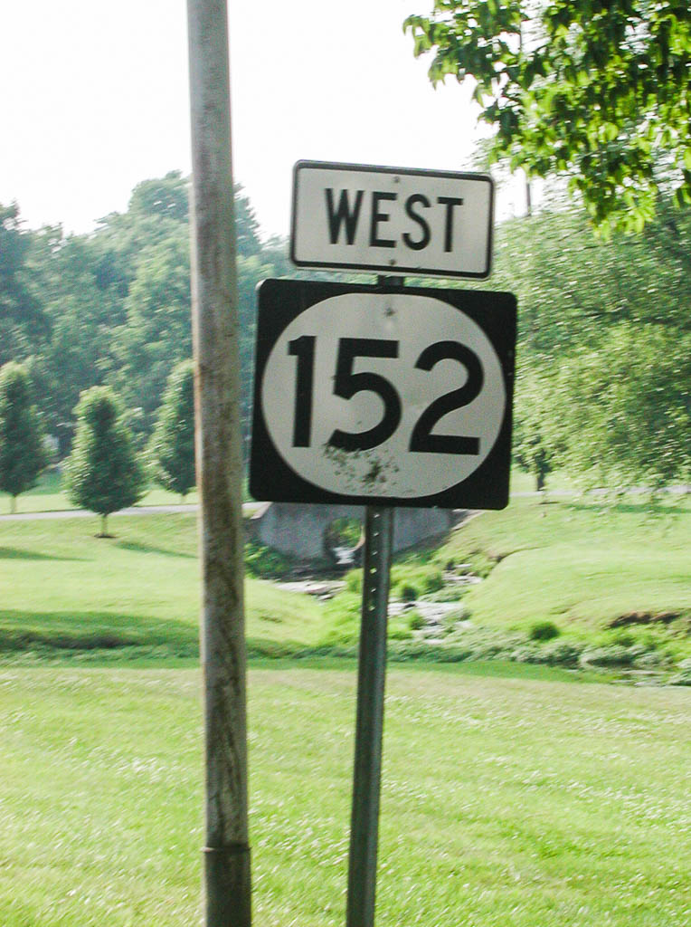
Luckily the route only gets on Hwy 27 to go north a mile or so. It was a really bad road. The people at the store in Bryantsville told me that it was pretty flat into Harrodsville. I have learned to translate:
| They say: | They mean: | |
|---|---|---|
| It’s pretty flat | There are no climbs over 200 feet. | |
| There are some hills | There are some serious climbs | |
| It’s only a mile or so | 2 to 10 miles |

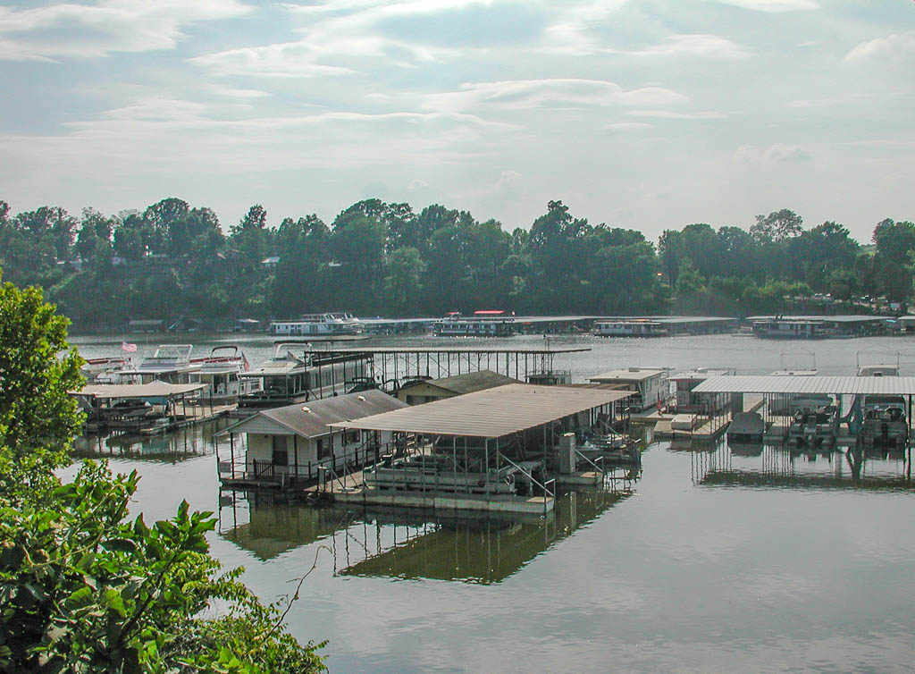
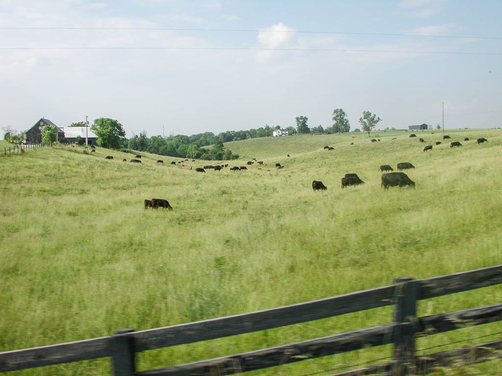
You get the idea. It was up and down all the way into Harrodsburg. When I came up on Harrington Lake, it reminded me of the docks and boats at Lake Cumberland. The smell was the same too. About 2 miles out of Burgin, I thought I heard strange motor noises. I couldn’t see any weed eaters around. Pretty soon I caught movement out of the corner of my eye. I looked up expecting a bird and noticed where the sound was coming from. It was a trainer RC airplane flying around. Then I noticed the flying field and the two students being instructed. I stopped and took a break. I saw one student almost put his plane into the ground, but the instructor ripped the transmitter and saved the plane. I haven’t flow RC for almost a year and it was interesting visiting with them.

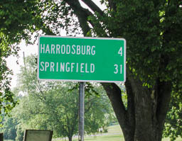
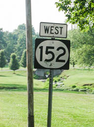
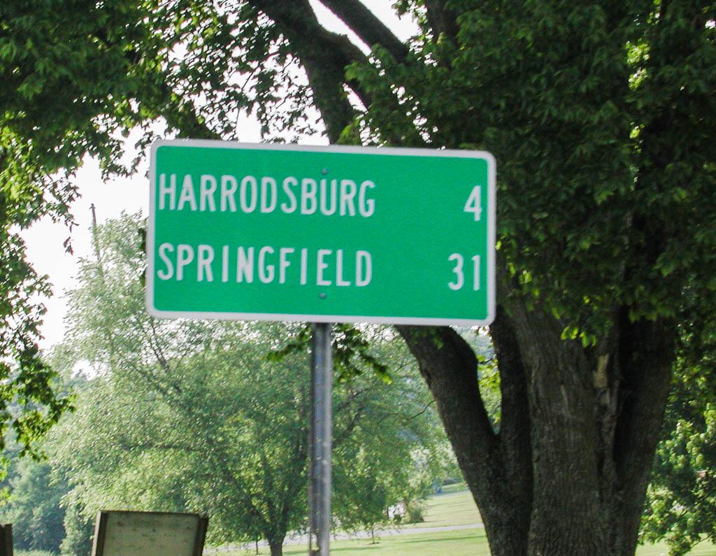
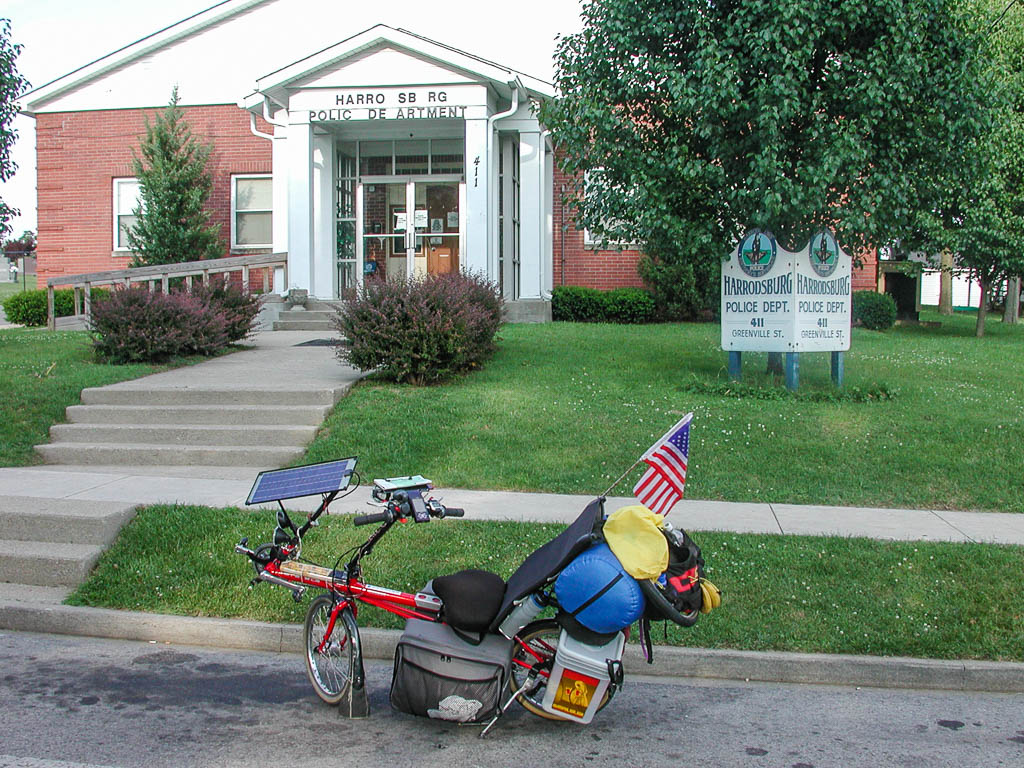
I got into Burgin and decided not to stop. I was trying for Harrodsburg only 4 more miles. It was some serious rolling hills for those 4 miles and even into town. The Adventure Cycling map has a blurb about camping in a park/pool about 1 mile W of town. The addendum states that there is no longer camping allowed. Since the original states that you should check with the Police, I decided to head to the Police Station and act dumb. (I can here you guys out there saying “That’s not hard for you.” Very funny.) Apparently the park is closed down and under repair. There are not restrooms or water or anything. They suggested a park about 2 miles out of town, with “a couple of soft ball fields.”
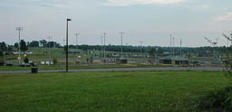
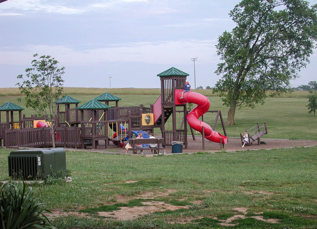
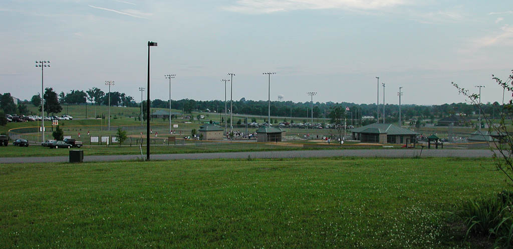
So, I head north on Hwy 127 and reach a light. I noticed a Wendys and wonder if I should stop until it gets darker. I ask a crowd around a church about the park and they verify that it is about a mile up the road. I turn around and go into the Wendys. I found a seat next to a wall plug and begin typing this. About 8:15, I figure I better get up to this park and figure out where I’m gonna camp. I get on Hwy 127 and start seeing signs for this place. When I turn in, I was floored. I’m trying to have a low profile and this place if full of hundreds of people. Everyone that sees me say something to the effect, “Hey! look at that bike.” I took a picture of the map, which has the roads completely wrong. Anyway, there are 10 or so baseball diamonds, a coupe soccer fields, a Frisbee golf course, a huge running track, basketball courts, picnic shelters, playgrounds. This place is huge and FILLED with people.

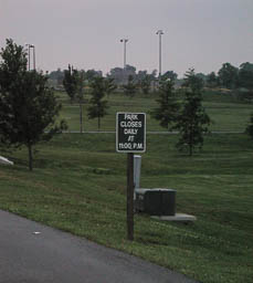
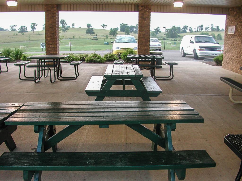
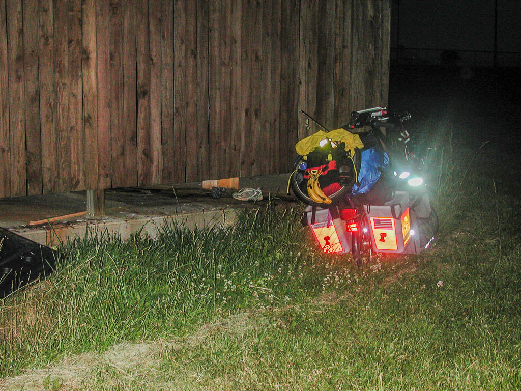
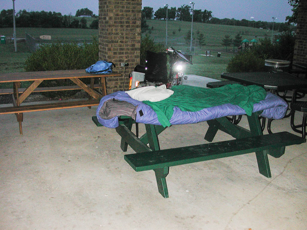
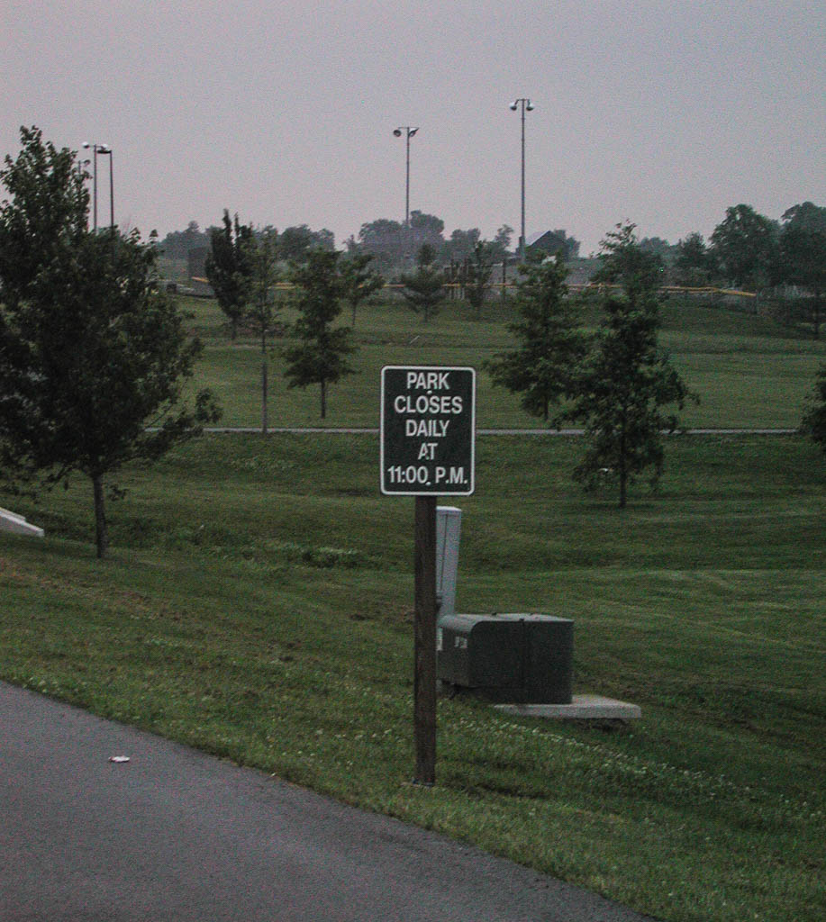
I have been trying to get to the picnic shelters at the back of the park, hoping that less people would be back there. The map shows roads that aren’t there. It is a map of future expansion or something and I’m guessing that the shelters aren’t even there. Anyhow, I have my bike hiding behind a dumpster. I don’t have a place that is totally hidden and those still walking on the track can see it. One of the close by softball games just finished and people are leaving. I hope I don’t have any problems tonight. The park is slowly starting to empty and is supposed to close at 11 PM. I probably won’t be able to setup inside a picnic shelter until after then. I’m hoping to just roll out my Thermarest and Sleeping bag and pray the bugs aren’t bad here.

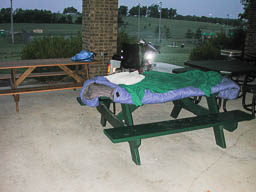
It is now 10 PM and I am sitting inside a picnic shelter. My bike is still behind the dumpster laying on it’s side. I figure I’ll go ahead and send this, but I might have to change my night data below if I get run out. I love this guerrilla camping, puts a little excitement to sleeping at night. :)
Today’s stats: 53.9 miles, 3,410 feet of climbing, a few minutes over 6 hours travel time.
Oh, I forgot to mention rain. Towards the end of the afternoon, some serious cloud cover came up. It was great, as it reduced the temperature by 10 degrees. A few large rain clouds formed and I slowed down a few times to let them pass in front of me. I did get a little sprinkle, but I quickly put on my rain cover for my rear bag, knowing that it would stop the rain. It did. Had I have left off the rain cover, the rain would have started pouring. I’m sure of it.
Harrodsburg, KY
Guerrilla Camping Site: 37 deg 47.925 min N, 84 deg 50.550 min W, elev 895 ft.
Trip Miles: 825.7 miles
Part 28 of 48 in the Trans-Am series.
Series Start | Day 22 - Irvine to Berea, KY | Day 24 - Harrodsburg to Bardstown