June 23, 2002
8 min. read
This post is part of the Trans-Am series.
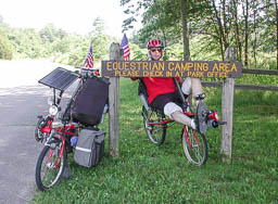
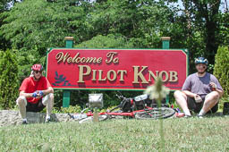
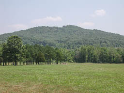
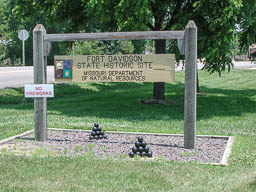
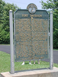
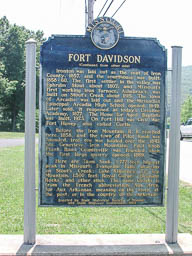
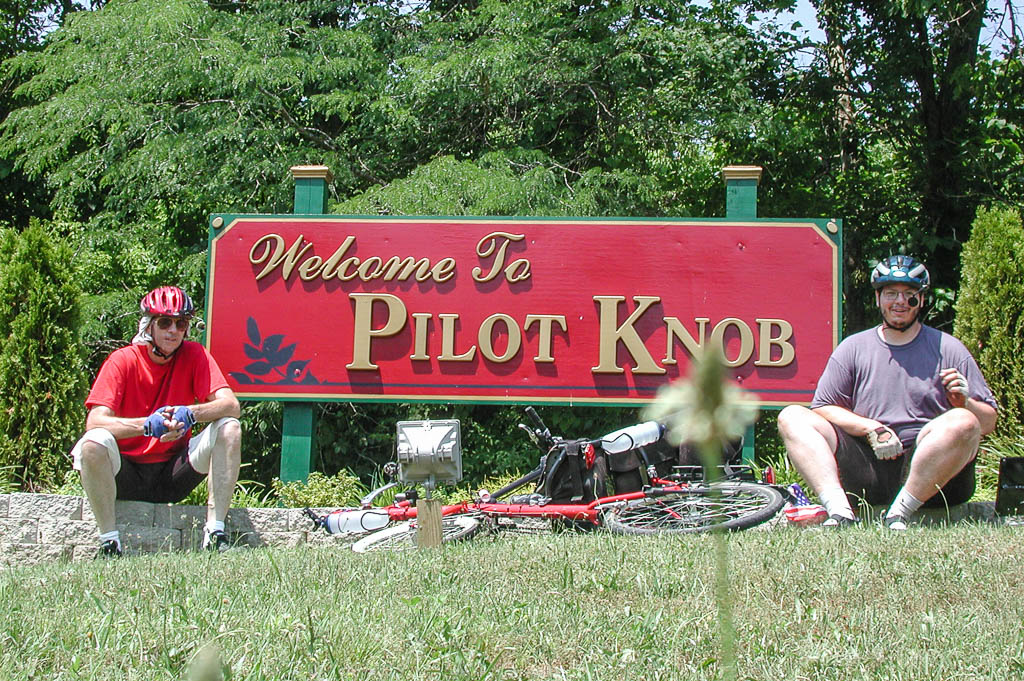
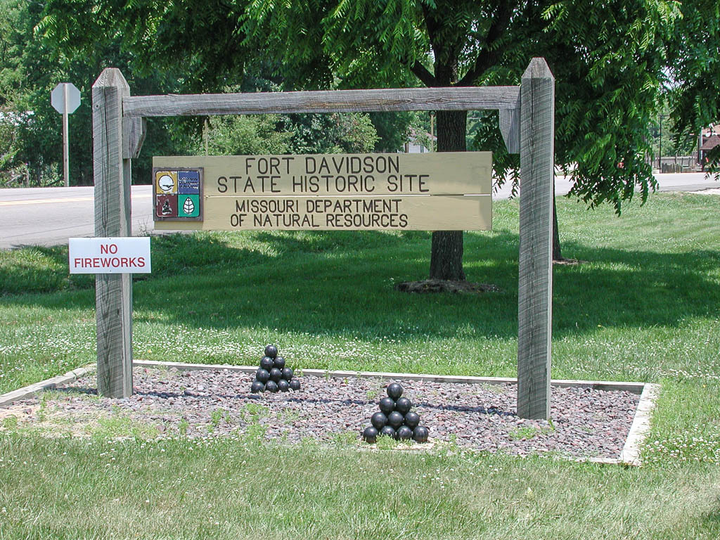
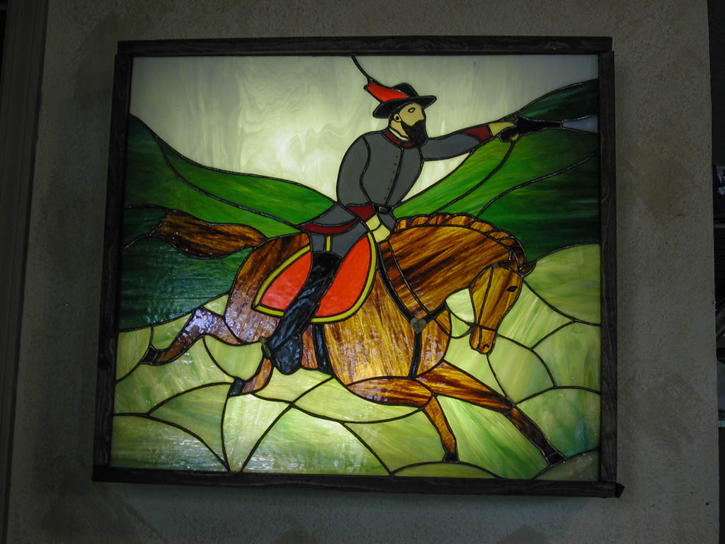
I found a few roads that took us back to the Trans-Am route at Doe Run. The GPS helps again. We headed into Pilot Knob (named for a local mountain peak.) Pilot Knob and Iron Mountain were both mined heavily for their Iron Ore in the early 1800’s. Before the railroad made it to the area, the ore was hauled out on horse and mule drawn wagons. This is a feat in itself. Eventually the railroad came in to haul out the ore. During the Civil War, this became a strategic location, due to the railroad to the North. Fort Davidson was built in Pilot Knob to help secure the area. This fort was the first command General Grant had upon becoming a General. The fort never came under attack during his time there.
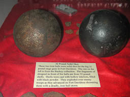
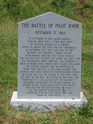
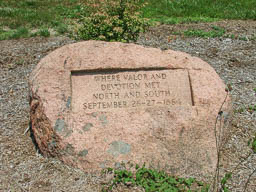
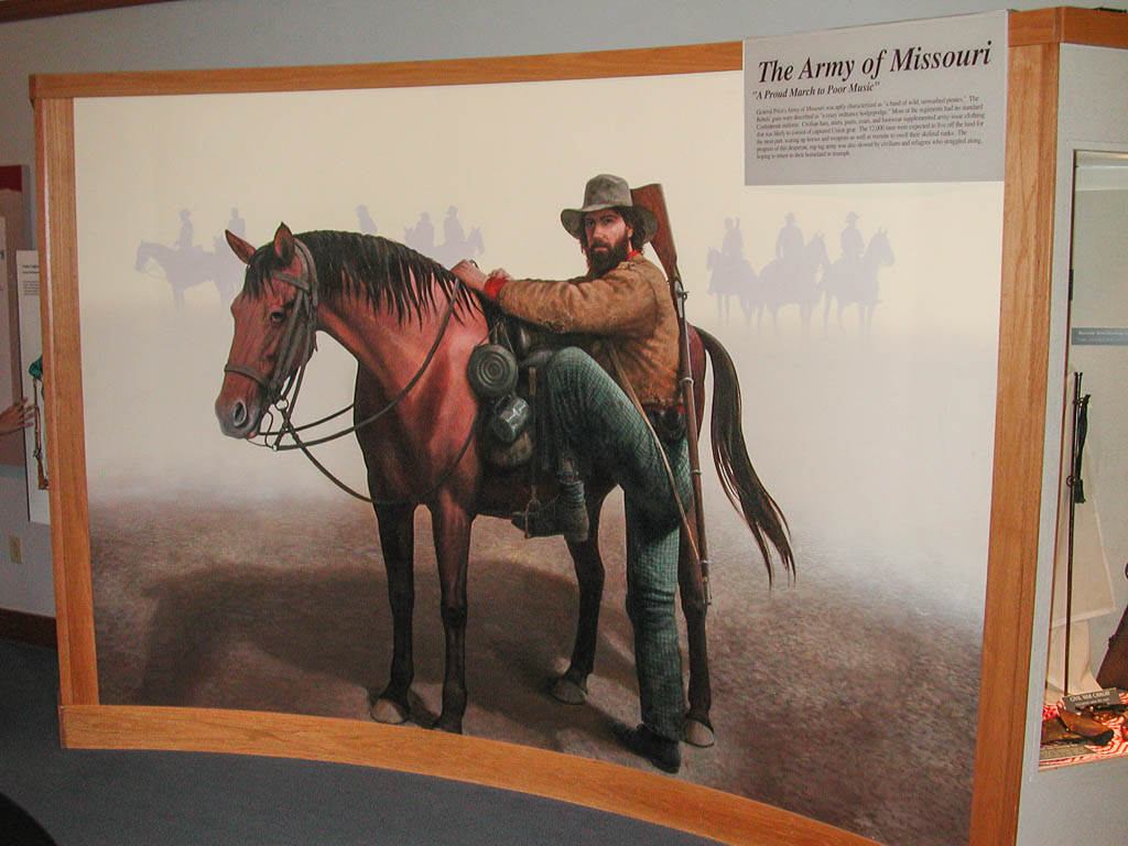
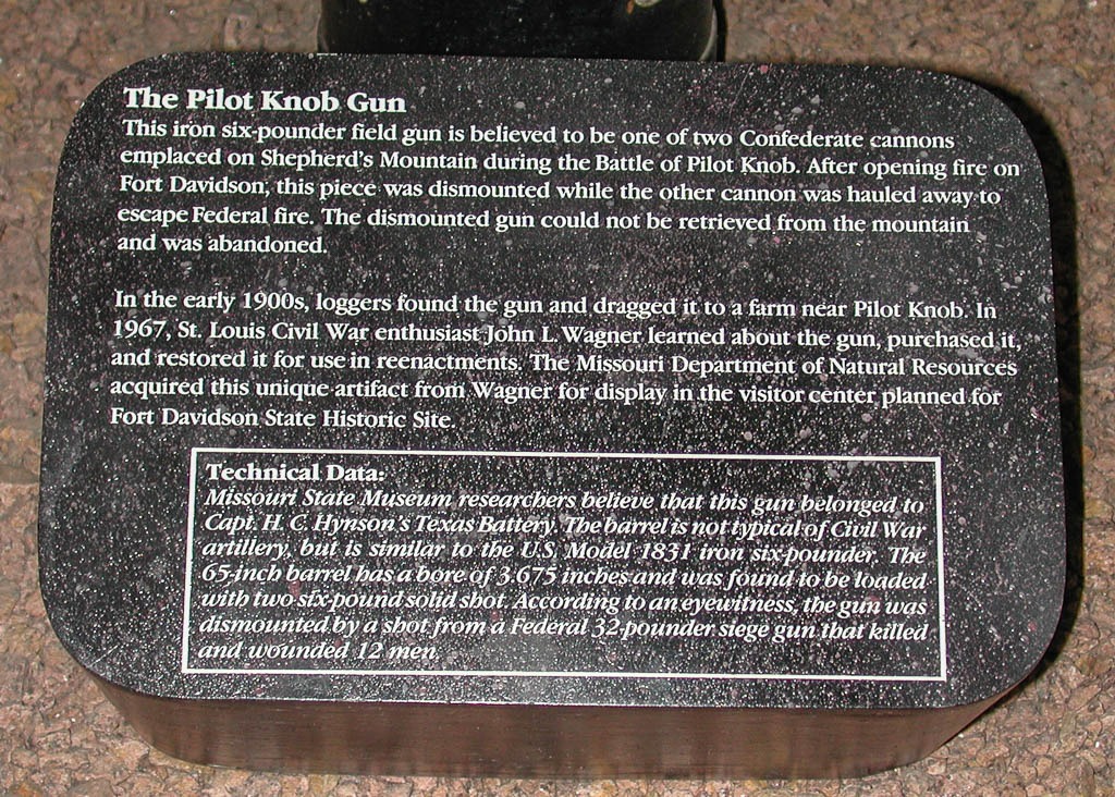
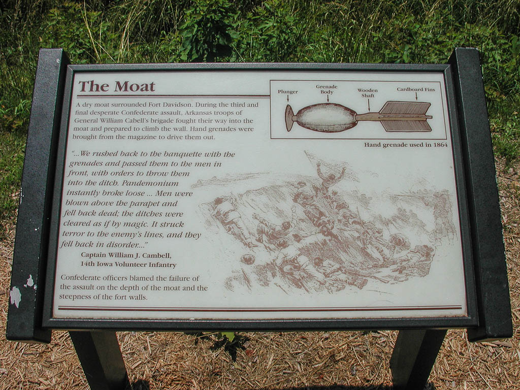
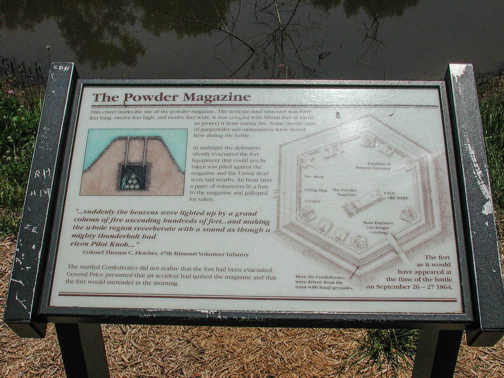
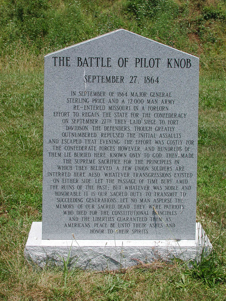
Later into the Civil War, Fort Davidson was attacked by Confederate forces. On September 27, 1864, Major General Sterling Price and 10 to 12 thousand Confederate troops attacked. This was one attack of the famous Price’s Raid, covering almost 1,500 miles and involving over 40 battles and engagements. The forces were repelled by 1,400 Union soldiers, including 50 members of the local black militia. General Price decided not to use cannons to weaken the Union forces and initially attacked with just infantry. After the first few failures, two cannons were positioned on a nearby hill, but accurate fire from the fort quickly put them out of service. By nightfall, the fort was surrounded by three groups of Confederate soldiers and the commanding officer decided to quietly evacuate the fort. At 2 AM all but a small detachment quietly left the fort, using hay filled sacks on their feet and various other tricks to keep the horses quiet. The small contingent of men set the fort’s ammunition depot to explode. When the Confederate forces heard the explosion (which was also heard by anyone within over 40 miles), they assumed that a dreadful accident occurred in the fort. The explosion was so large as to throw timbers from the fort’s walls over a half of a mile. The crater from the explosion is visible in the fort today. Luckily the Union forces leaving the fort were mistaken for Confederate troops as they marched directly past one of the Confederate camps. Confederate and Union soldier alike were buried in the South rifle pit next to the fort.
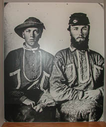
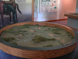
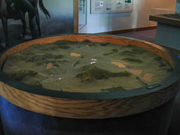
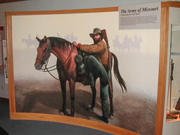
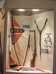
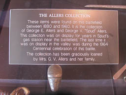
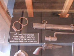
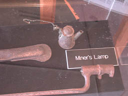
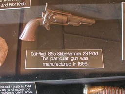

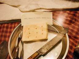
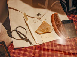

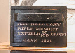
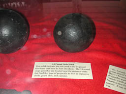

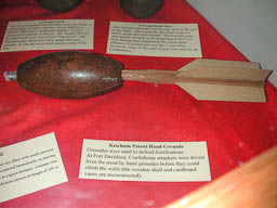
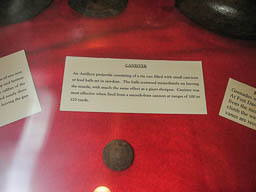
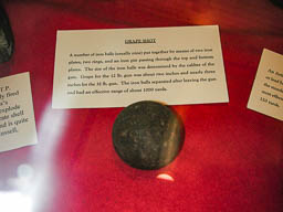
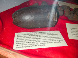
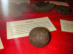
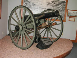
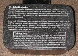
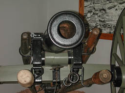
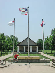
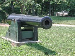
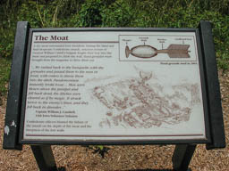
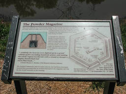
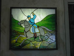

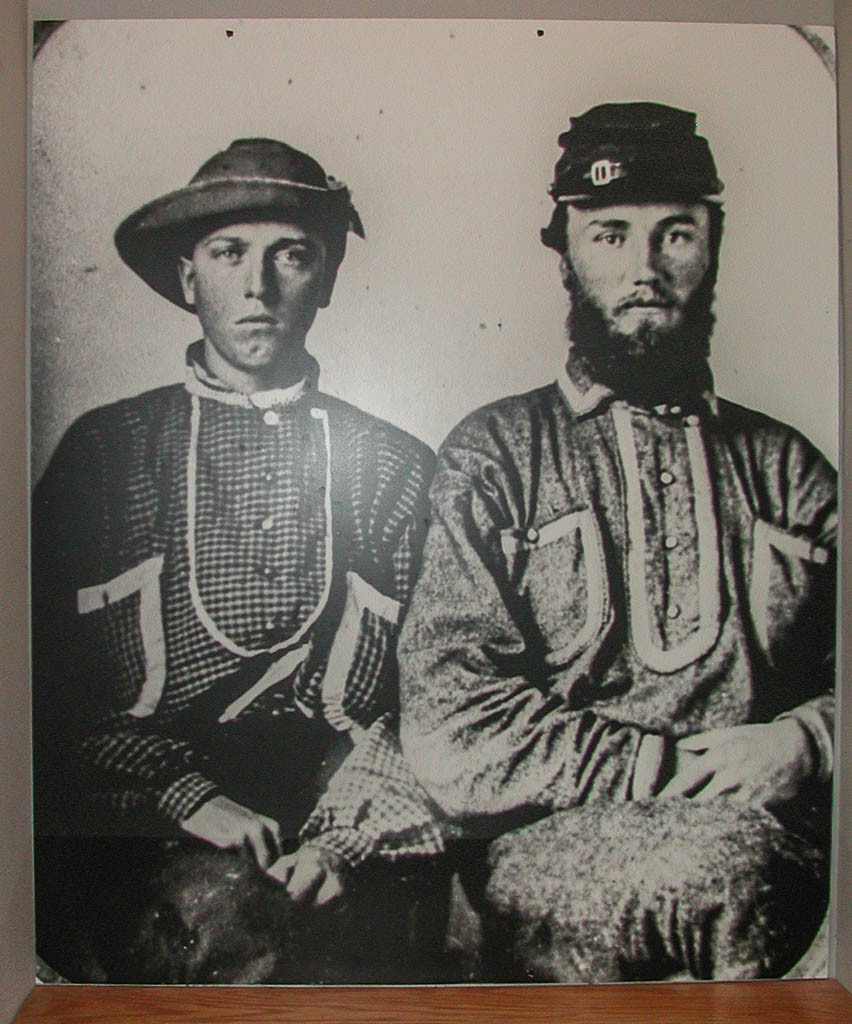
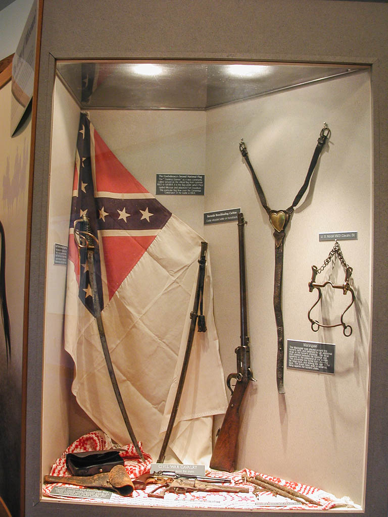
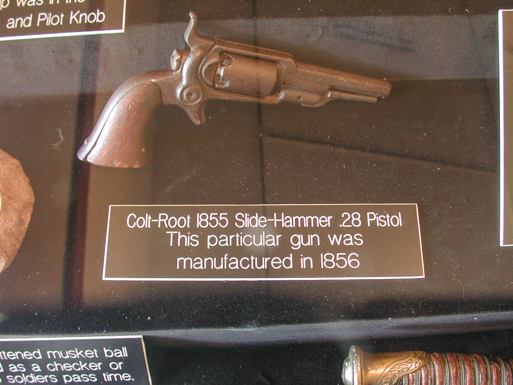
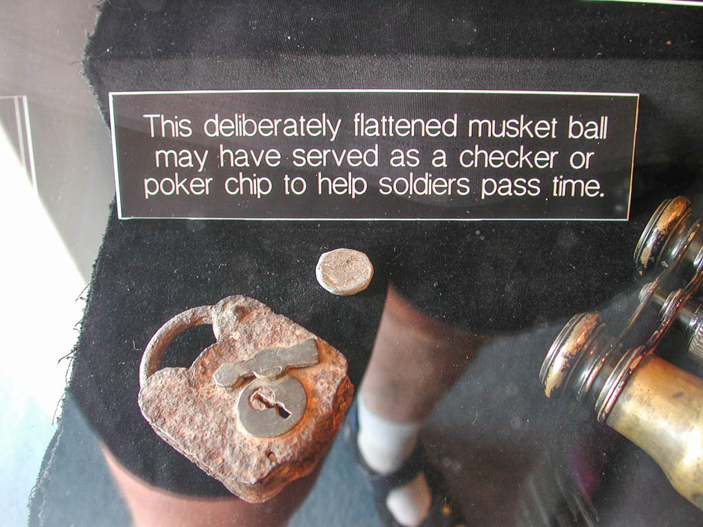
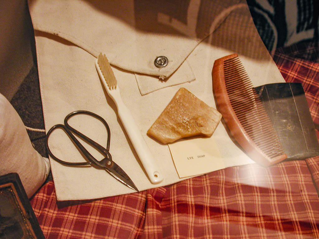
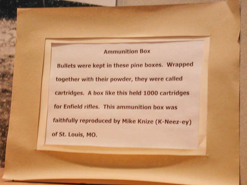
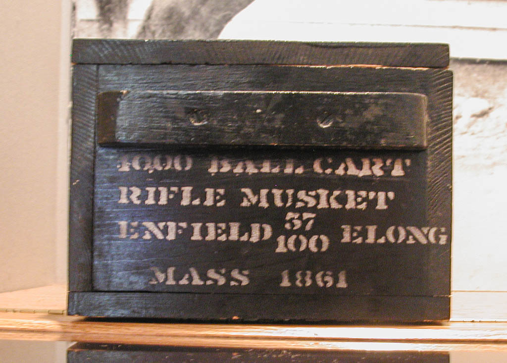
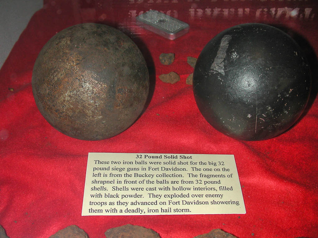
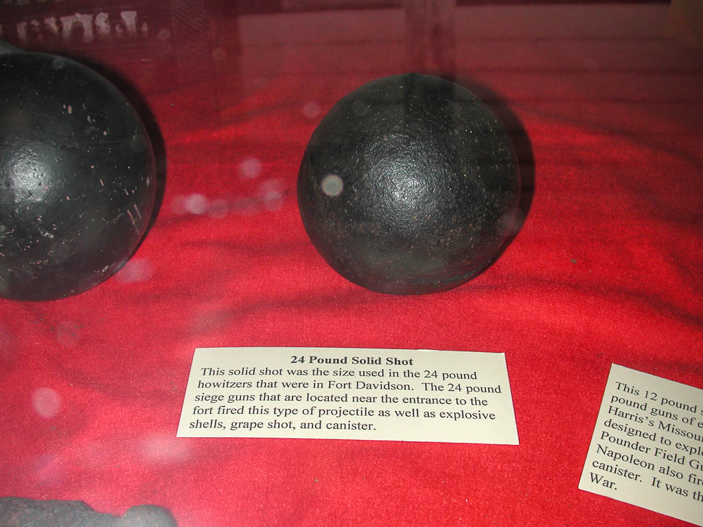
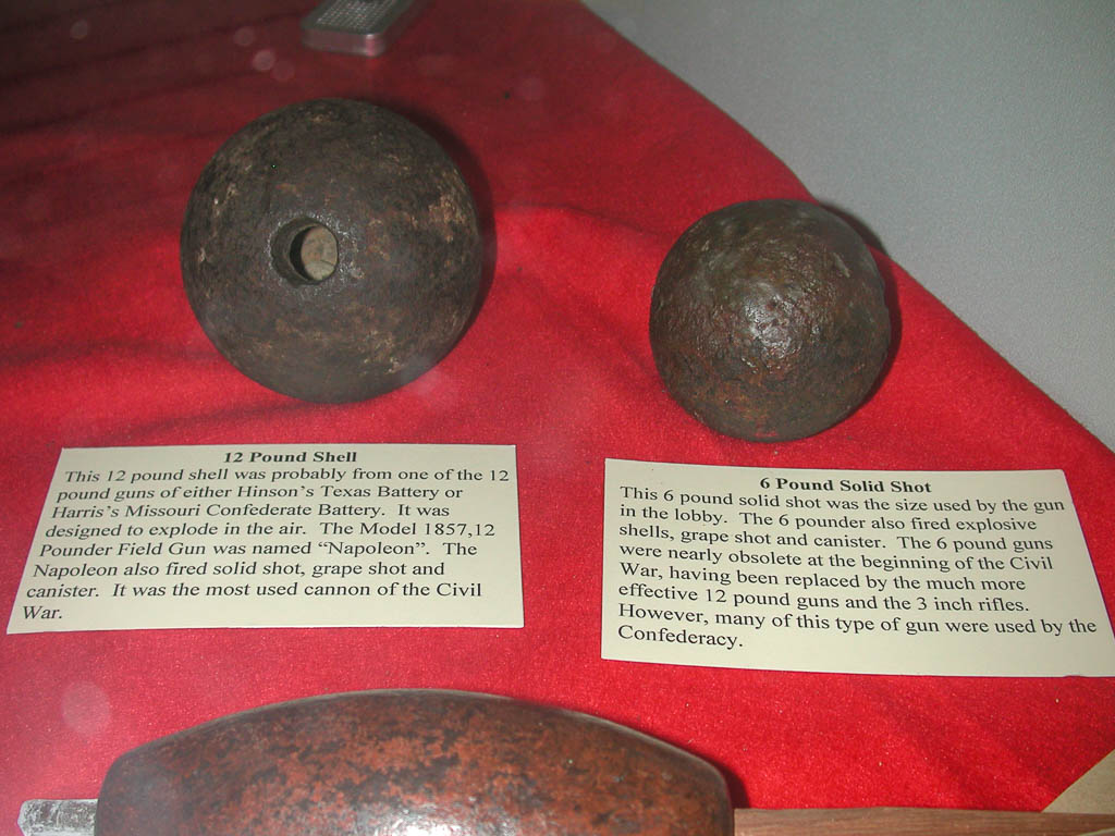
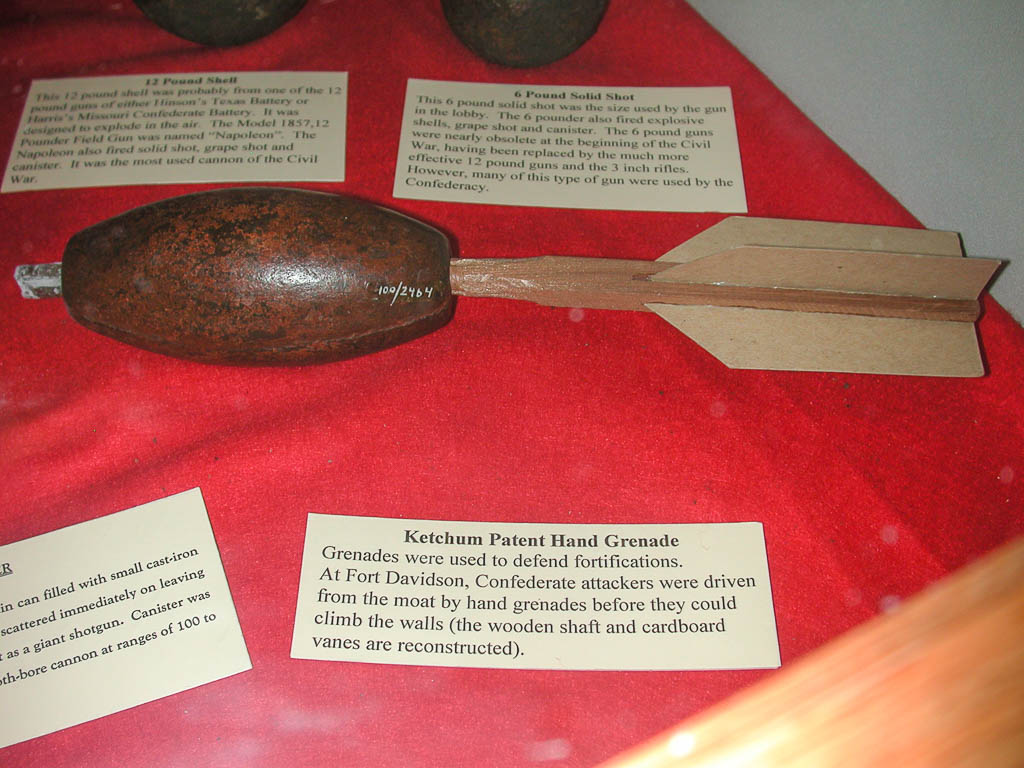
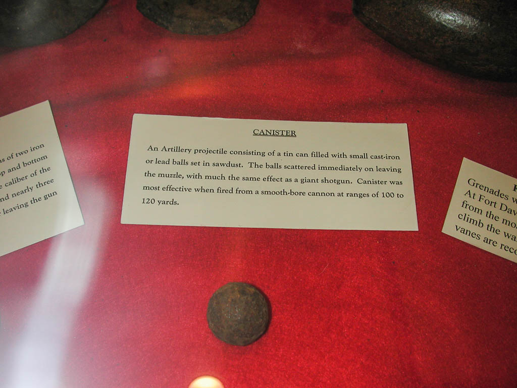
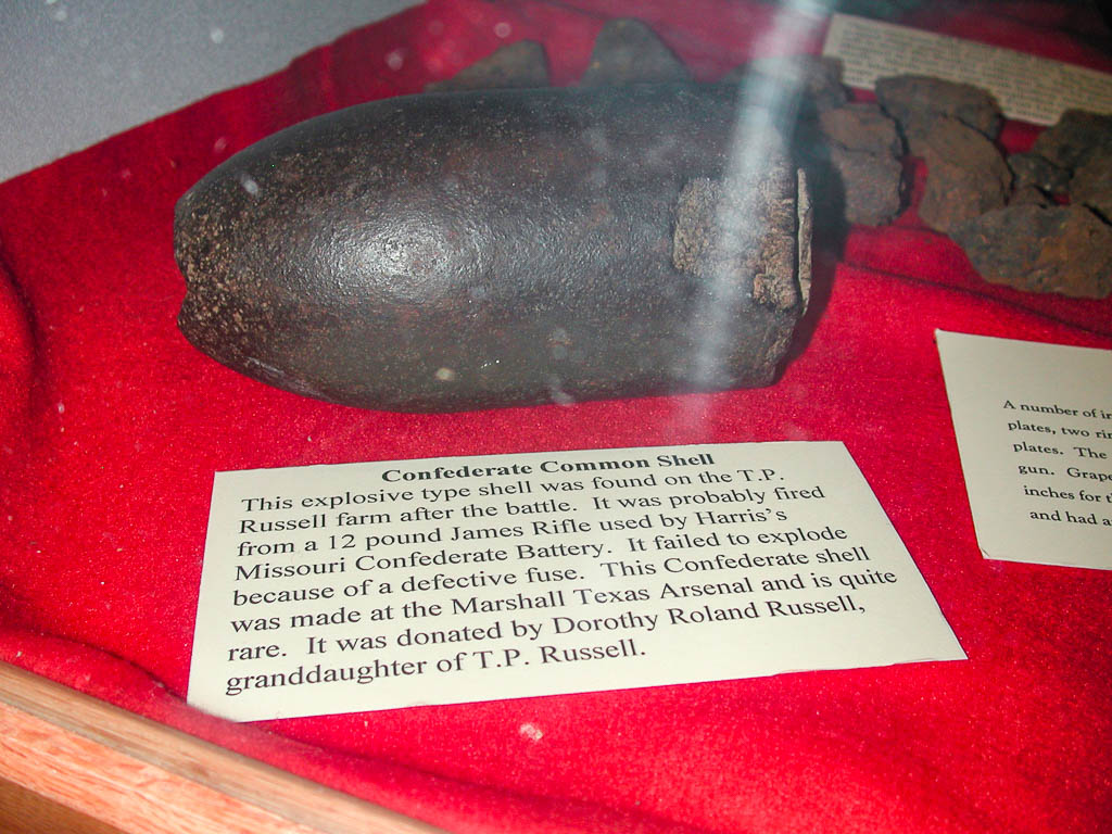
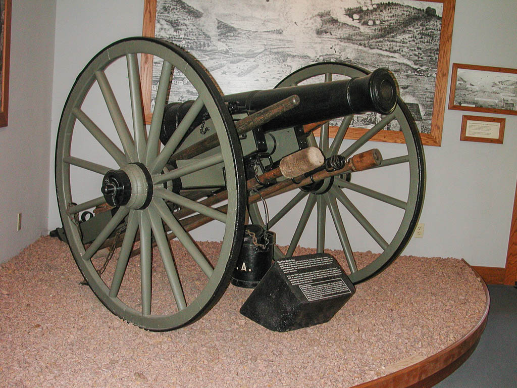
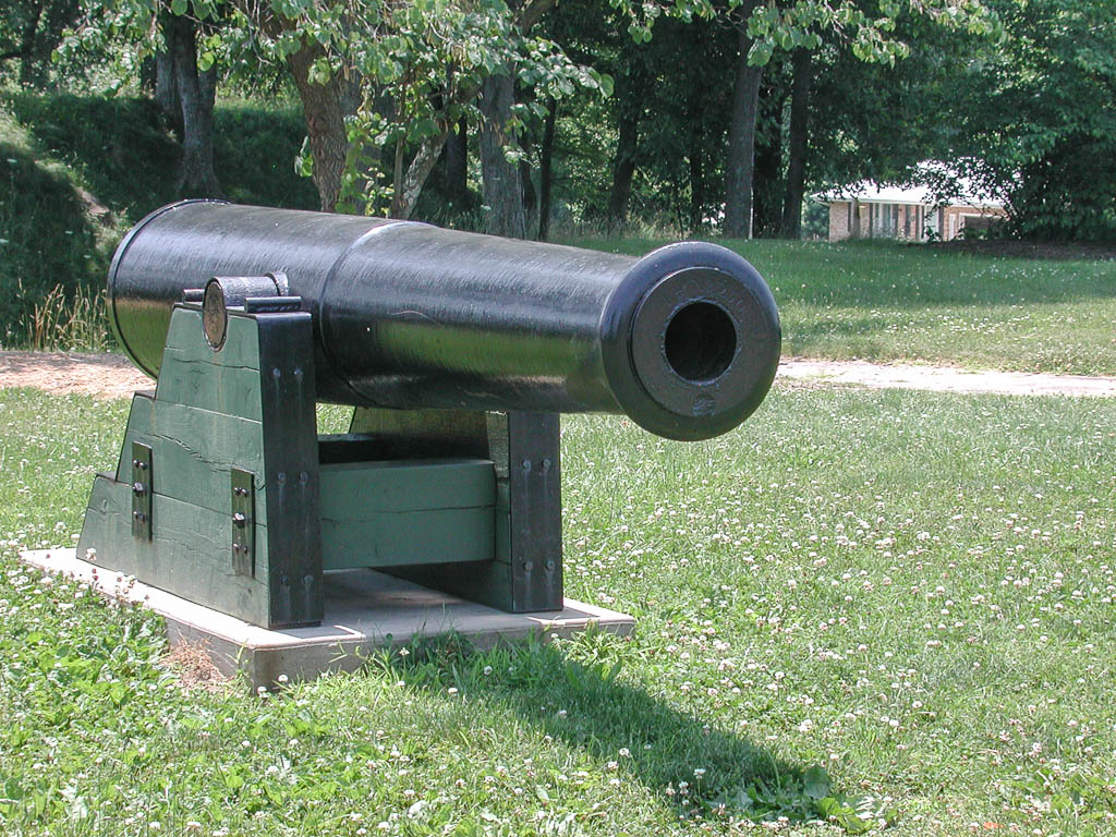
The talking slide show in the visitor’s center was a little cheesy, but explained a great deal about the area and the fort. There was also a very well done battle map with lights as I saw in Virginia. This was much more helpful in actually explaining the events of the battle. The visitor’s center also had many displays of clothing, weapons, rations, cannon and grenades from the conflict.
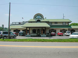
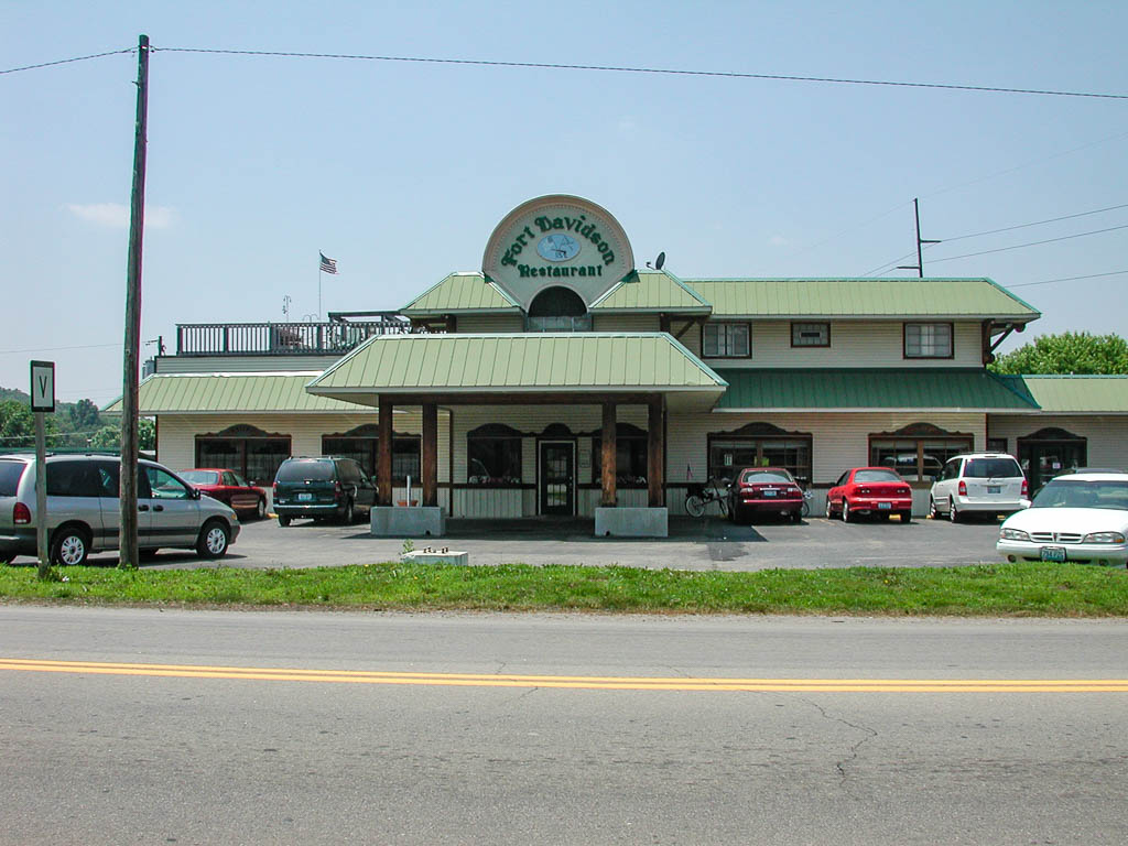
After viewing everything, dad and I went over to the Fort Harrison Restaurant for lunch and a break from the heat. It was Sunday and the place was hopping. We had to wait a while for a table, but managed to get one next to a plug, so I typed a little.
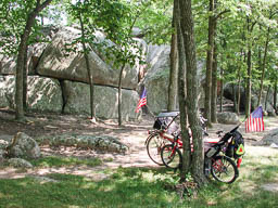
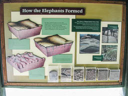
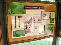
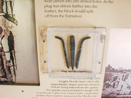
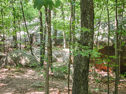
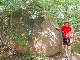
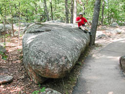
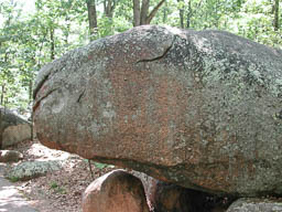
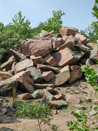
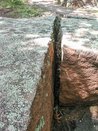
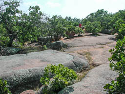
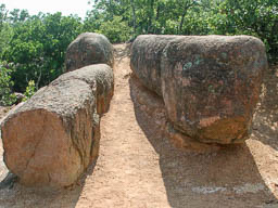
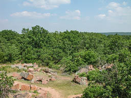
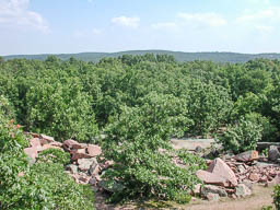
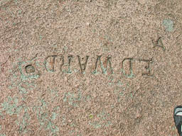
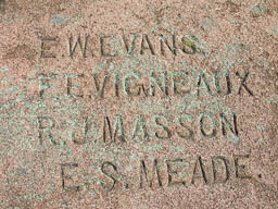
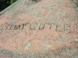
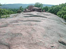
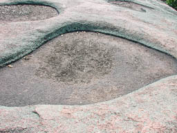
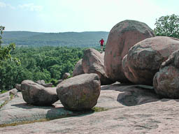
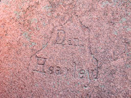
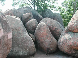
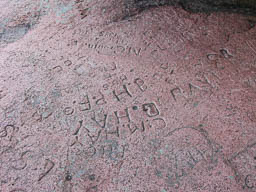
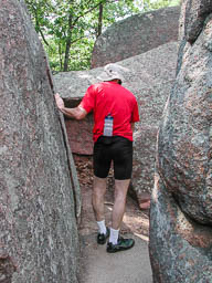
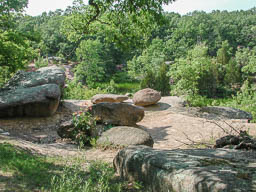
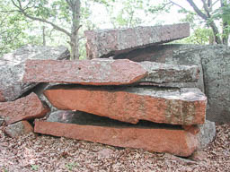
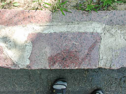
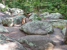
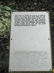
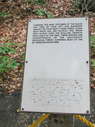
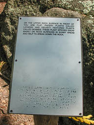
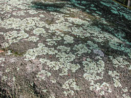
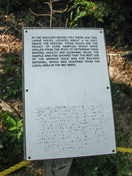
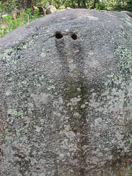
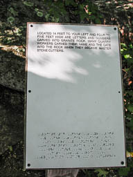
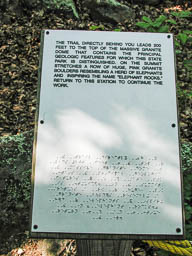
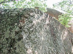
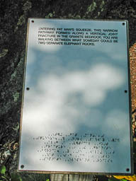
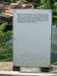
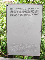
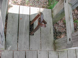
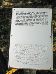
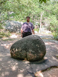
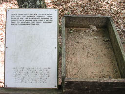
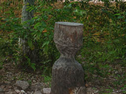
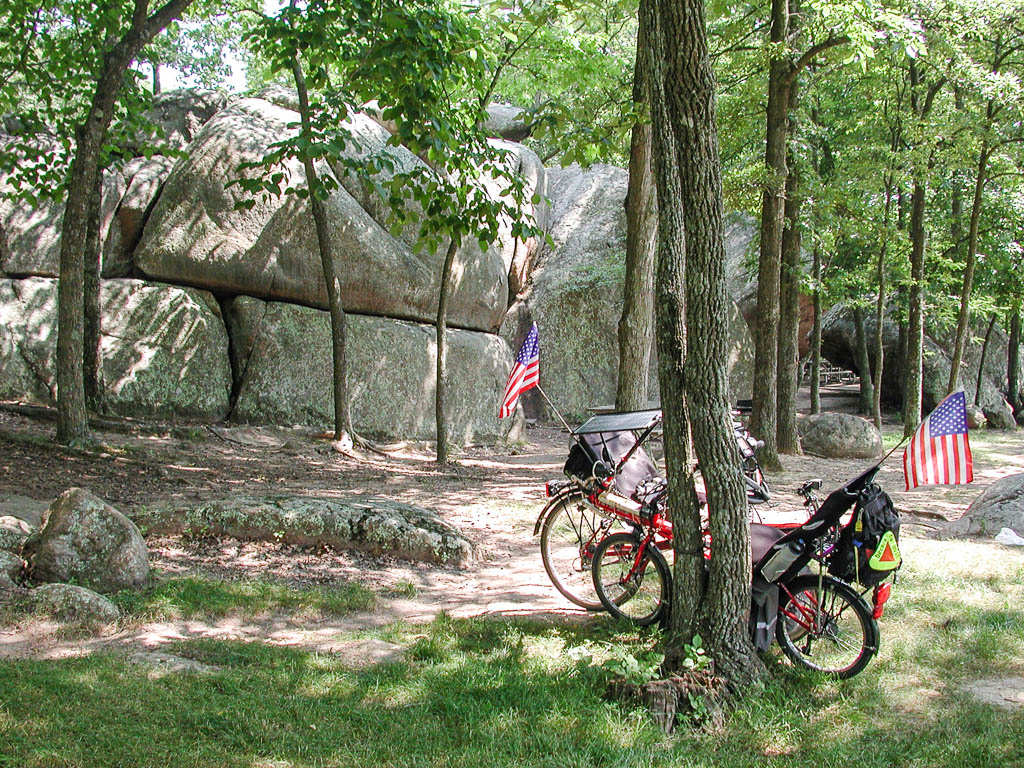
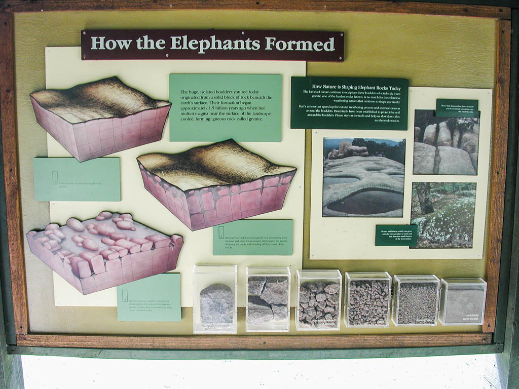
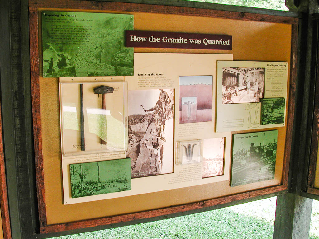
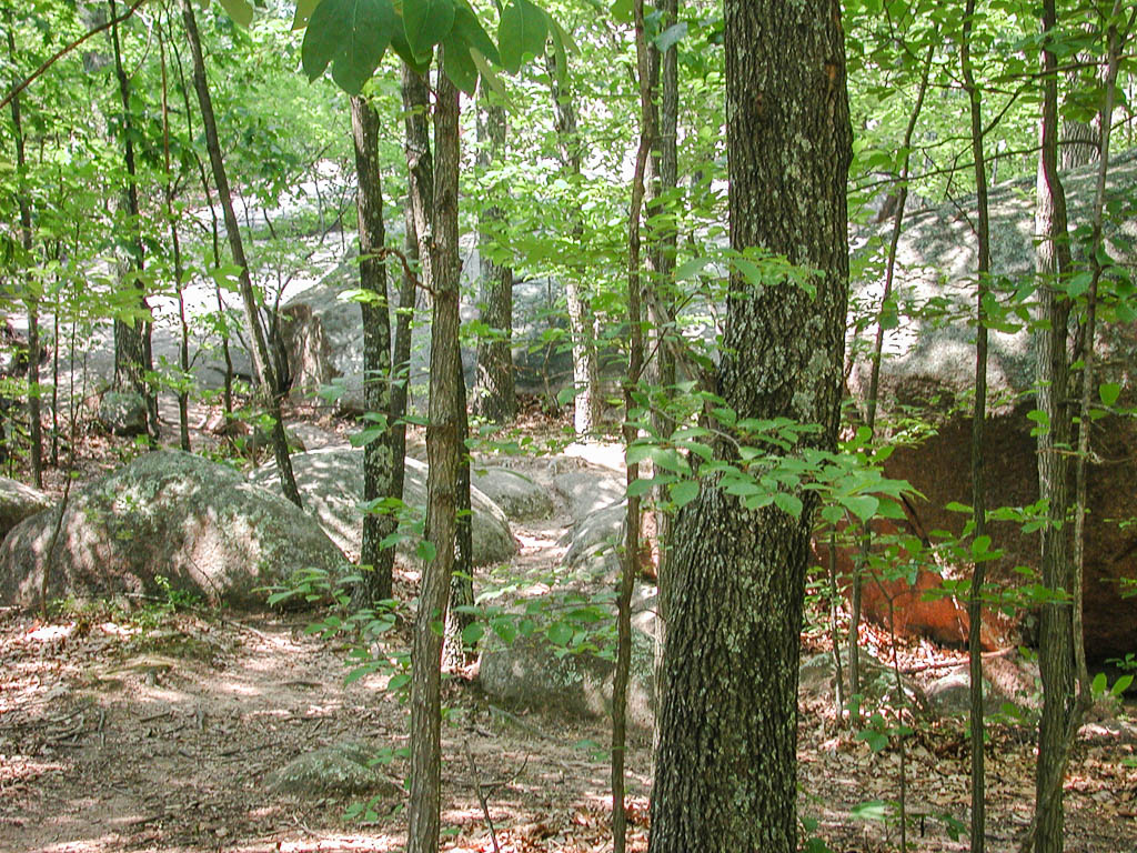
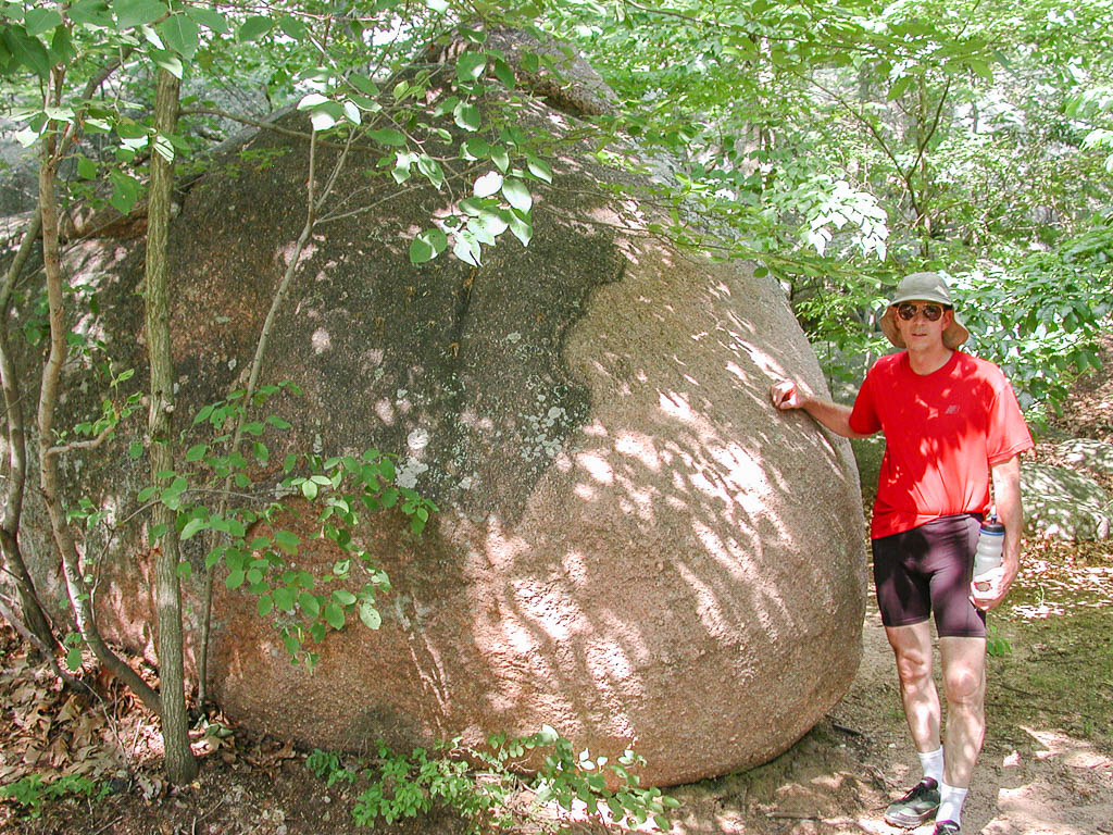
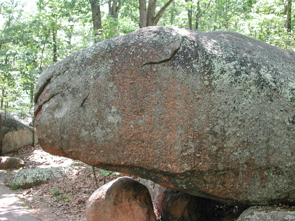
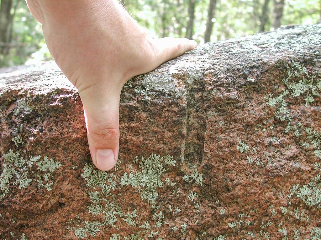
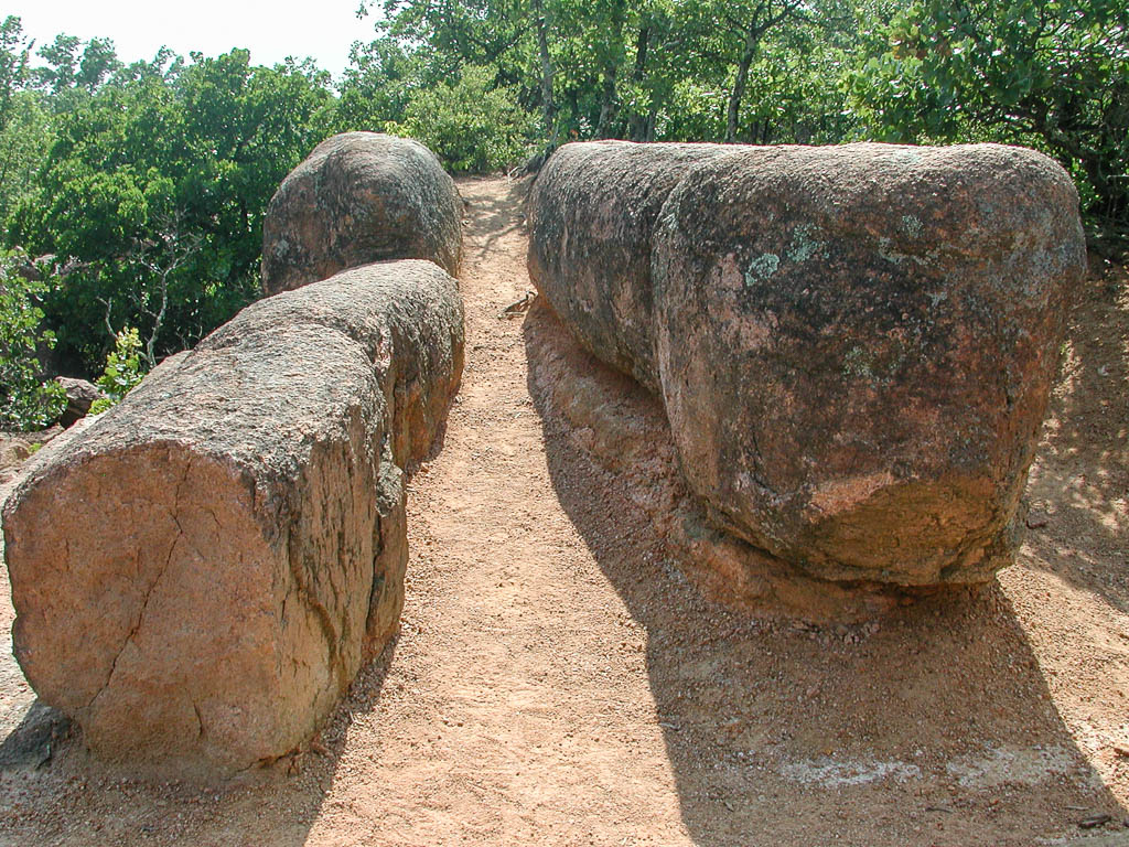
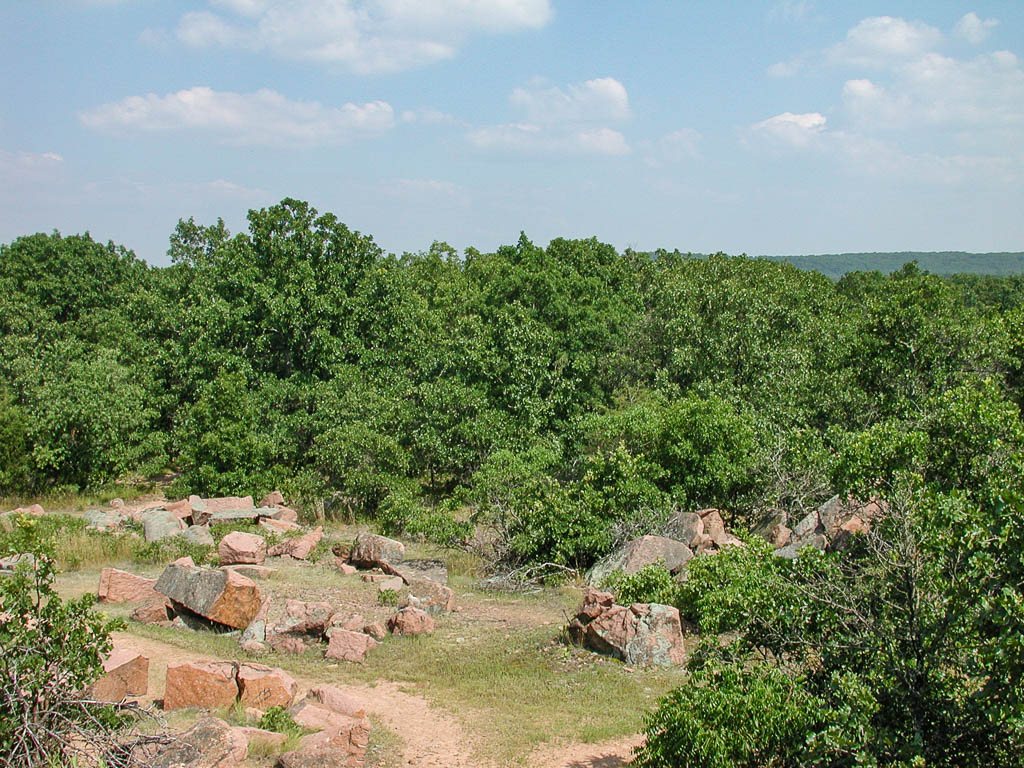
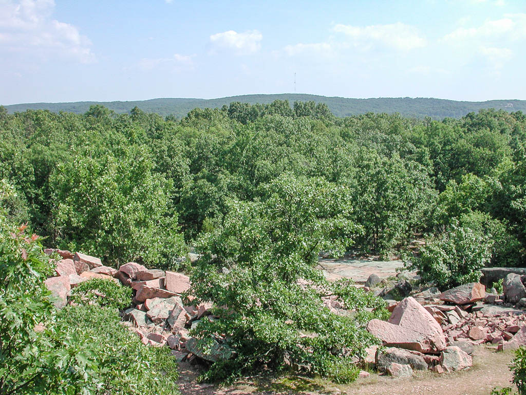
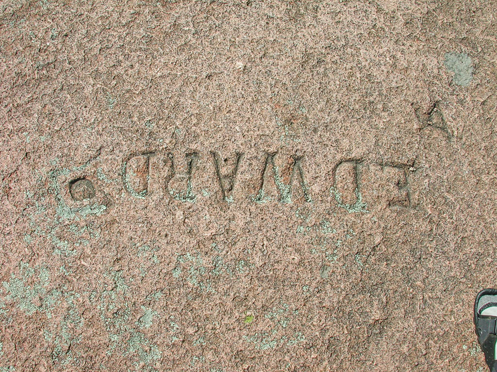
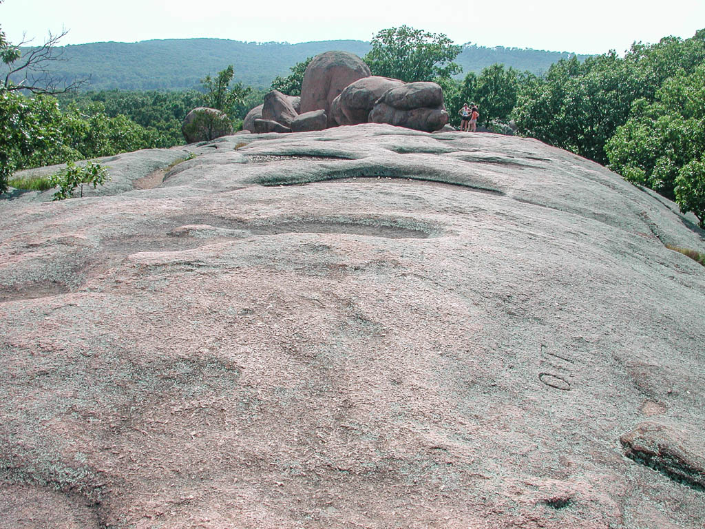
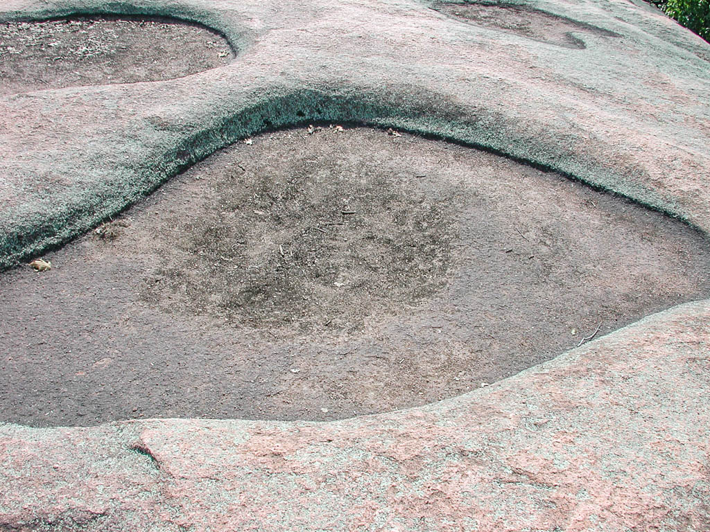
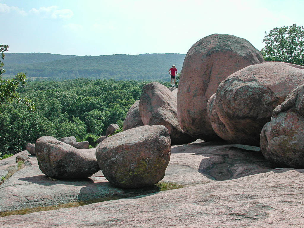
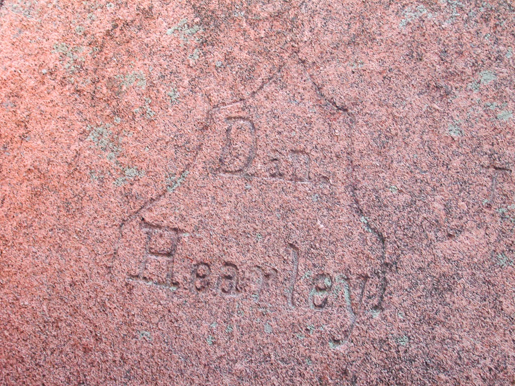
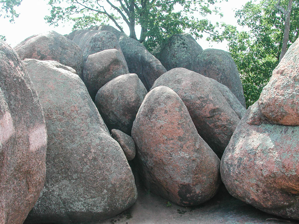
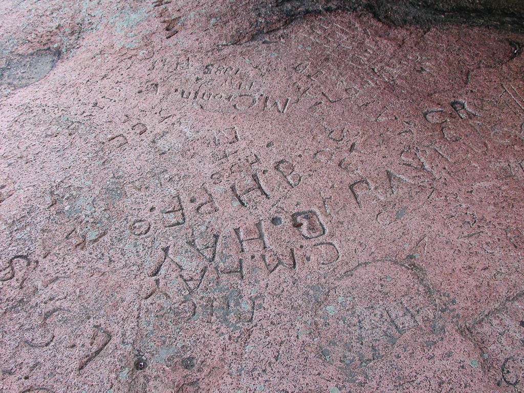
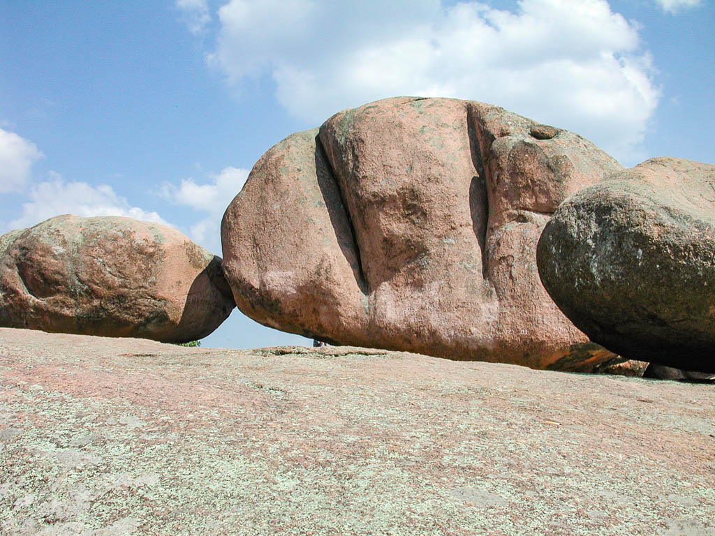
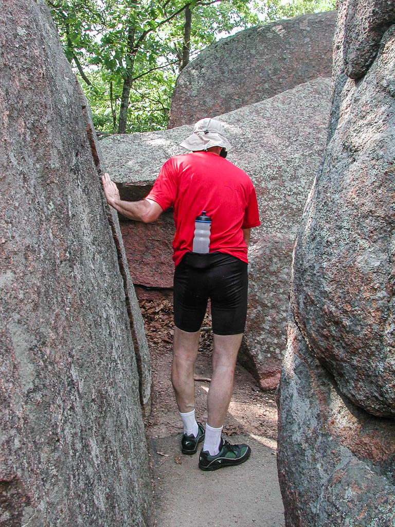
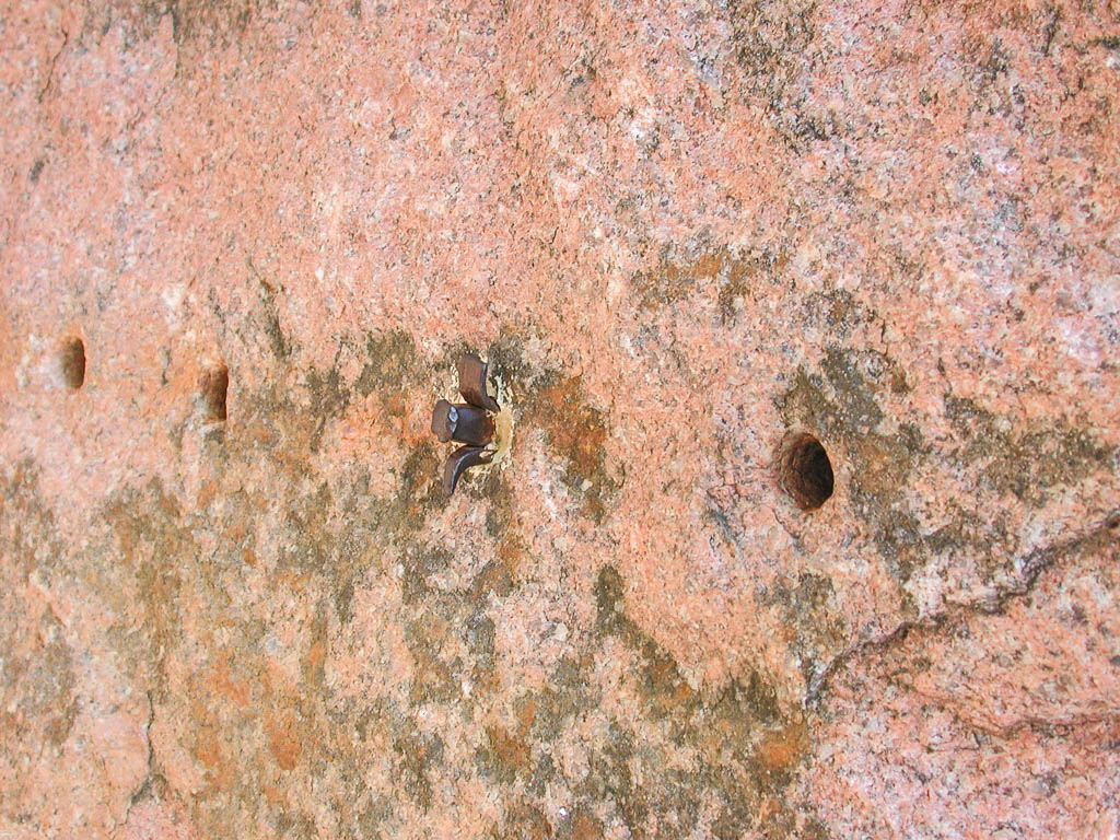
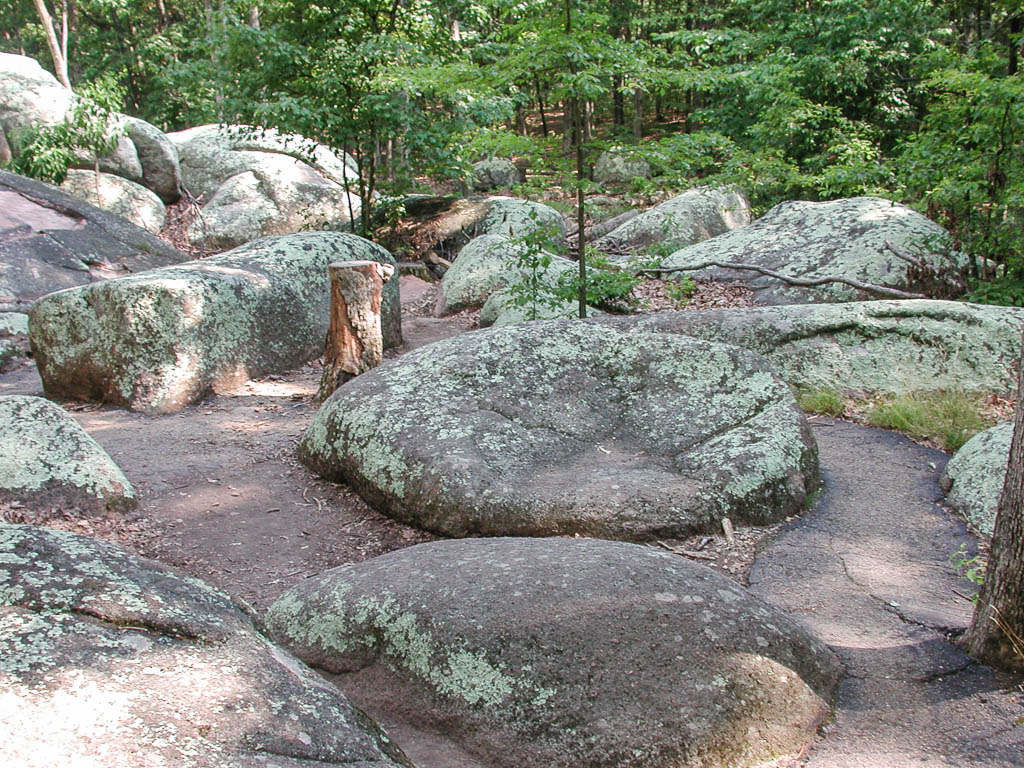
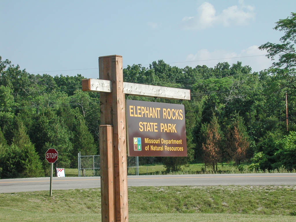
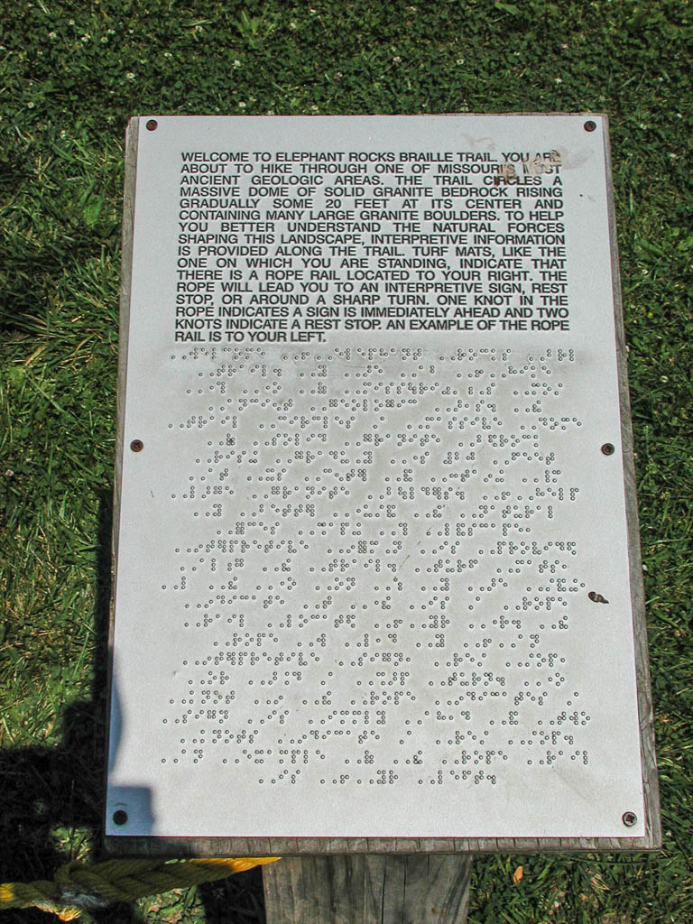
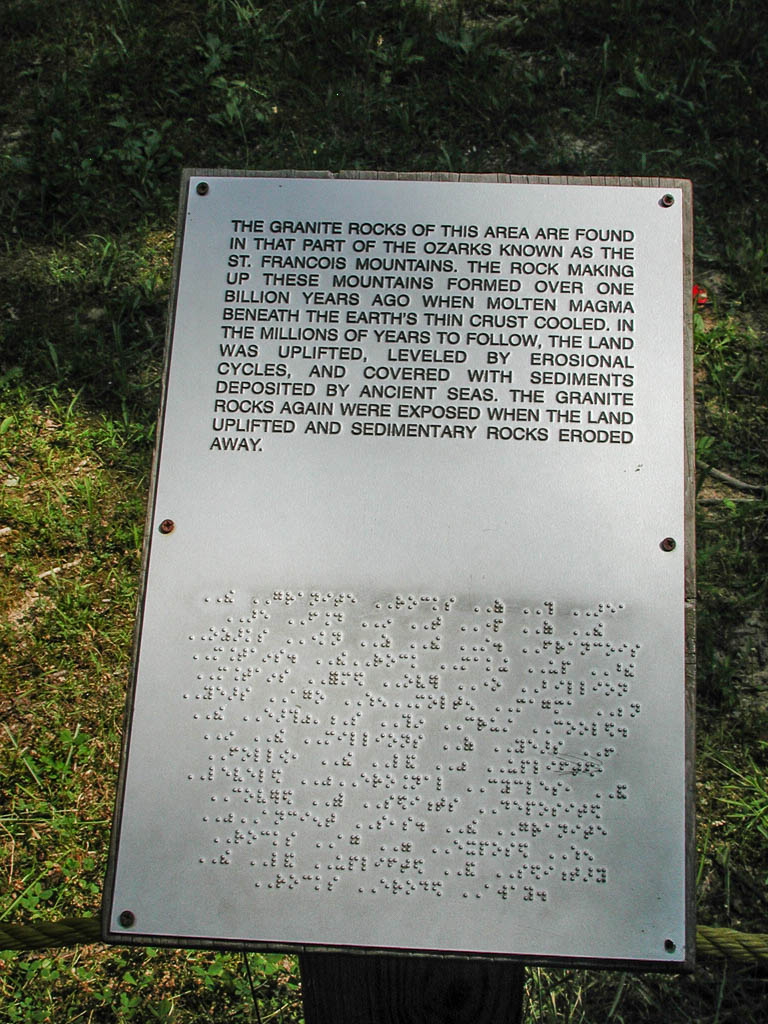
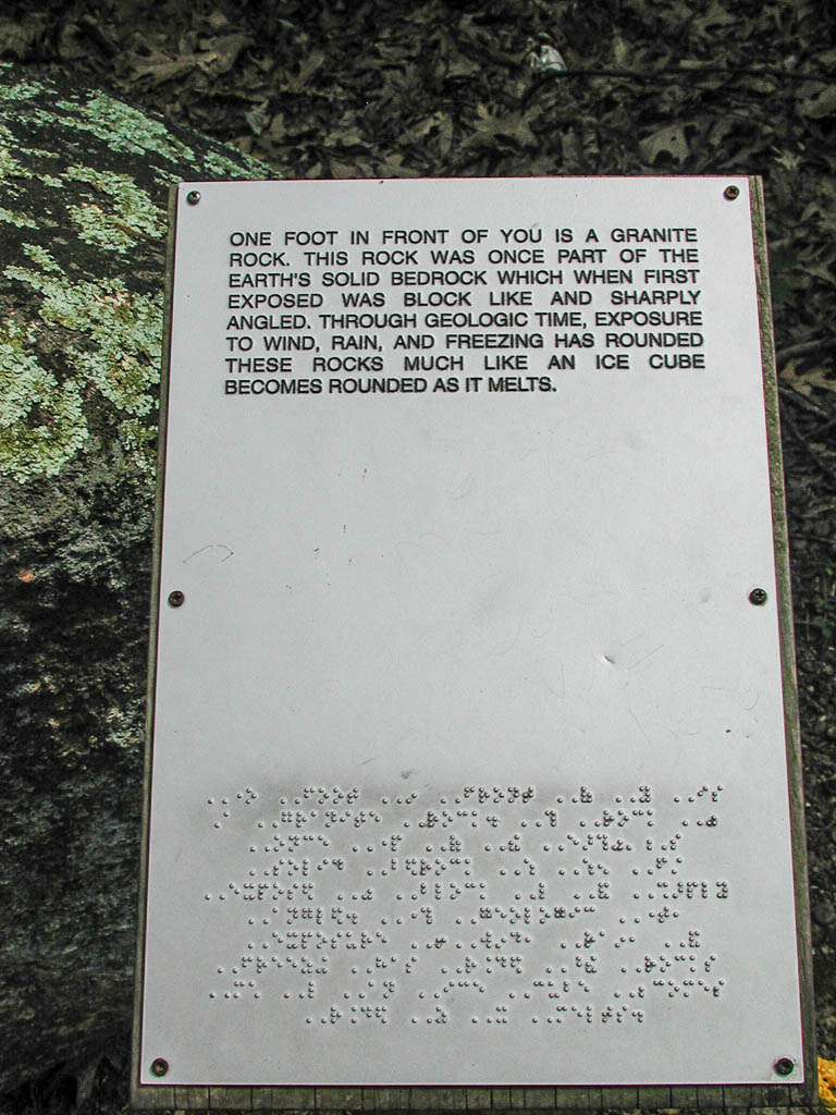
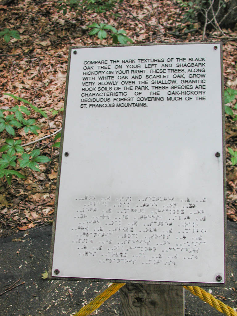
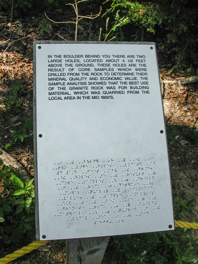
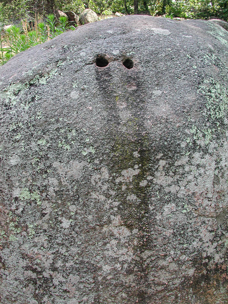
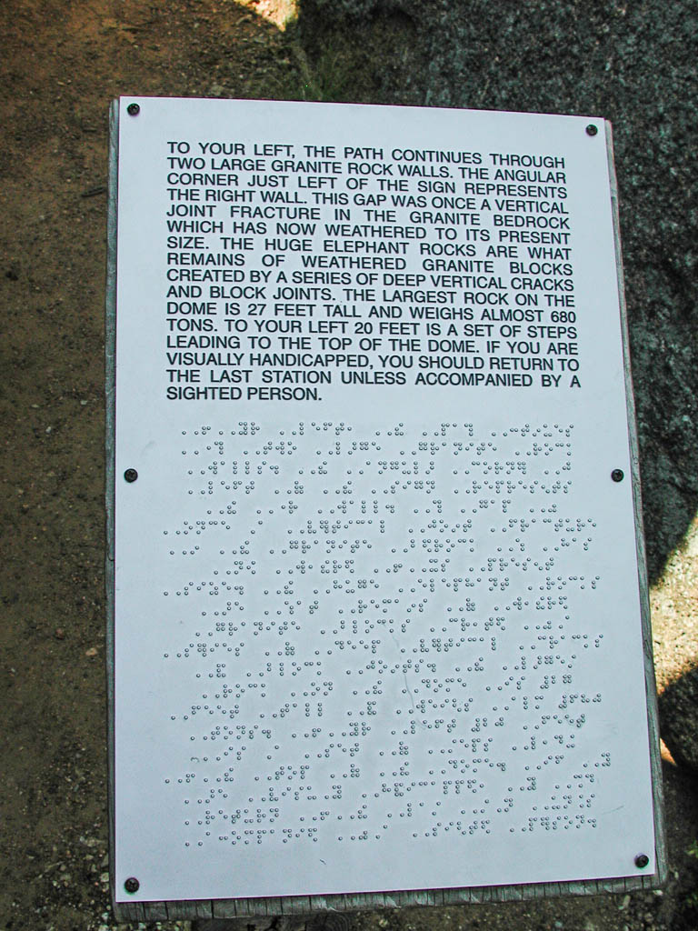
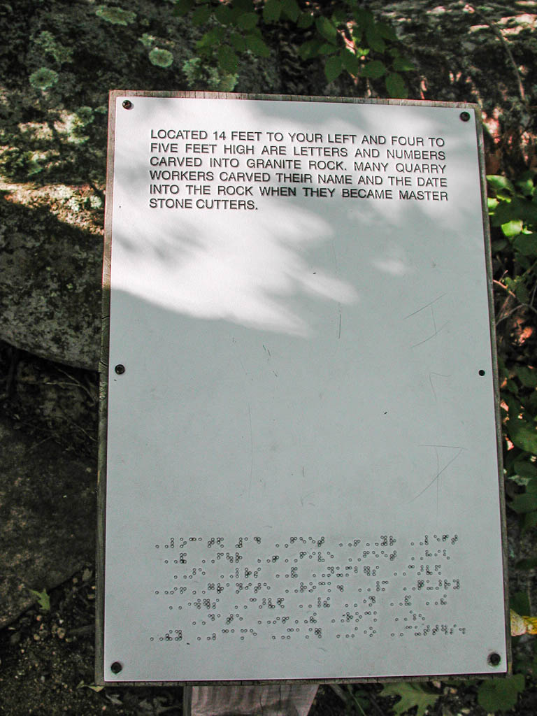
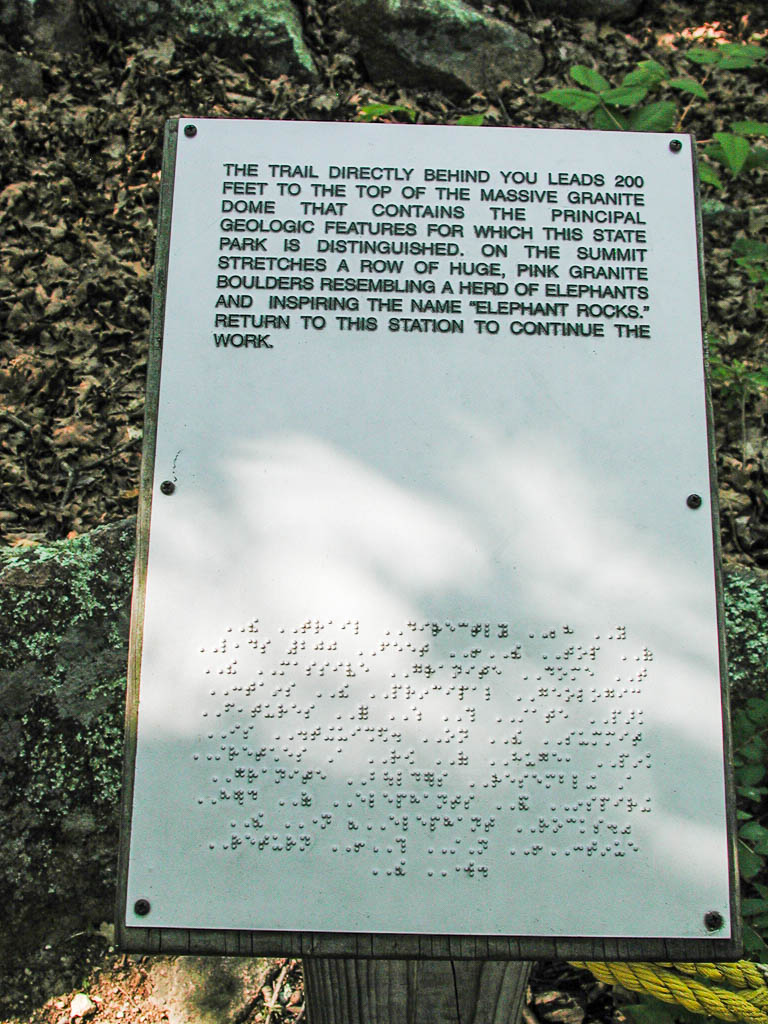
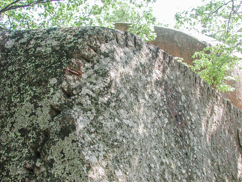
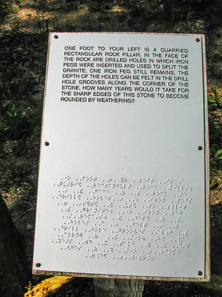
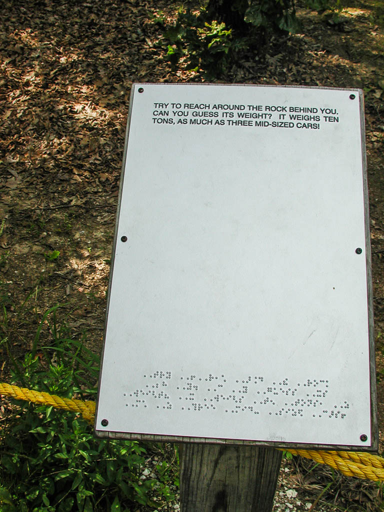
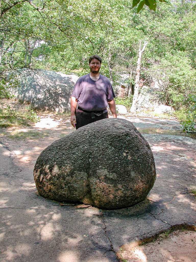
The next stop was 5 or 6 climbing miles. Elephant Rock State Park is a little over a mile off route, but definitely worth the climb. The Elephant Rocks were formed when huge slabs of granite were forced out of the ground. Gradual erosion caused the large rocks to wear into smooth rounded shapes. The park starts out with a information kiosk with displays about the formation of the elephant rocks and techniques for harvesting granite. The town next to the park is aptly names Graniteville. The granite used to be sheared off by drilling holes (about as deep and round as a finger) and putting in two pieces of thin metal pieces and a wedge in the holes. The metal pieces make sure the wedge only puts side force in the hole. These holes are created every couple of inches and the wedges are gradually worked in until the rock splits. There were a many pieces of rock that showed the holes where they were split. One rock, just before climbing up top, showed what happens if you don’t split the rock with its grain. Like wood, rock had grain. This rock had the rows of holes, but when the split started, it angled away from the intended path. We ran into the large slab of granite, before we realized that there were stairs to the top. Maybe we just like the hard way. It took some rock climbing up 10 feet or so to get on top, and it isn’t the easiest to do with my Shimano biking sandals. I should have taken the route dad did an jumped the 3 feet crack. We both had a chuckle after we noticed the stairs up at the other side. This large slab of granite held the granite boulders for which this park is named. There are three huge rocks that look like circus elephants in a line. The largest being over 200 tons. All around up top there are places where names are carved. Some of the names also have dates, and many show serious wear. Once a worker reached the status of Master Stone Cutter, they were allowed to add their name to the rock.
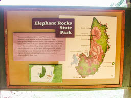


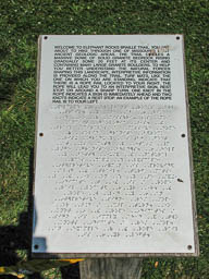
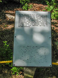
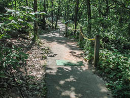
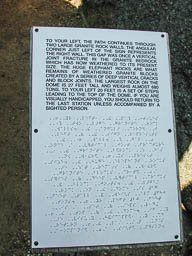
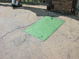
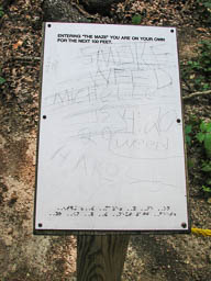
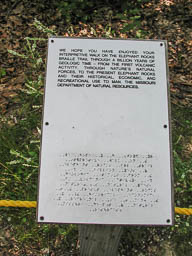
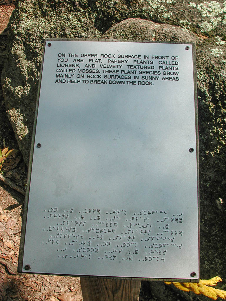
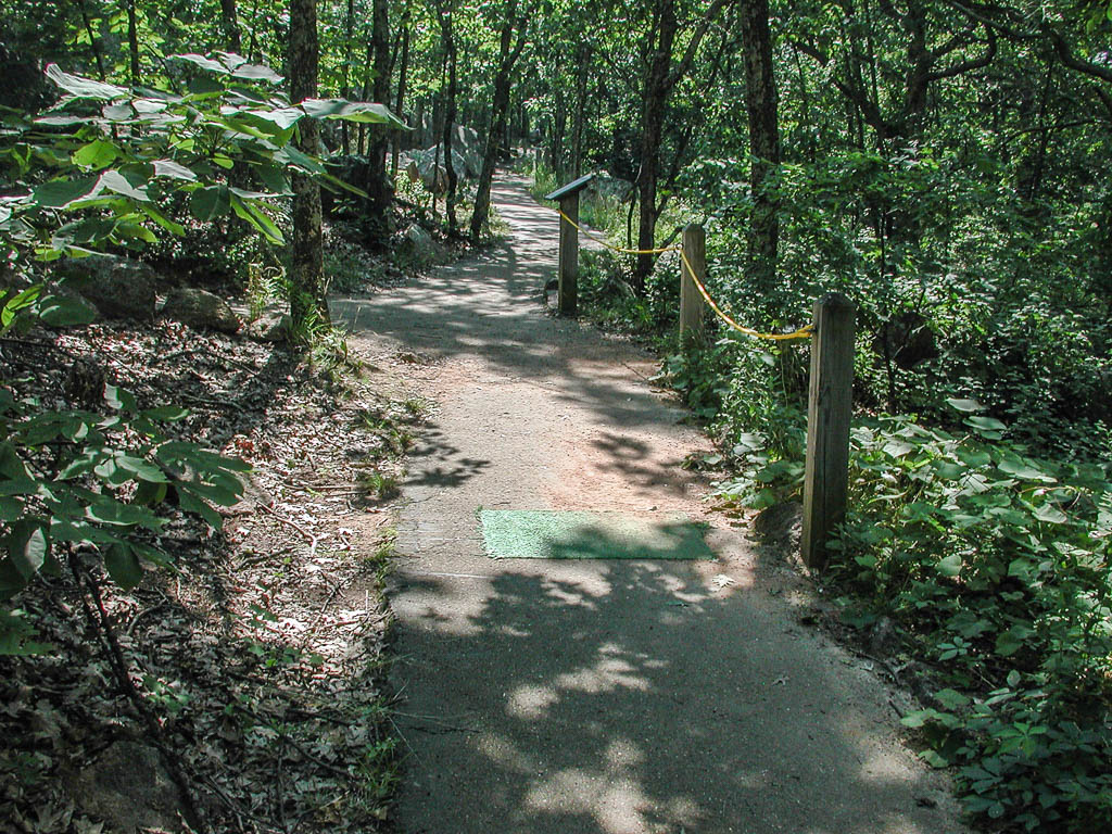
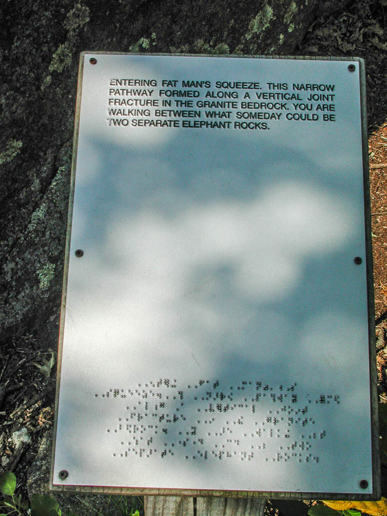
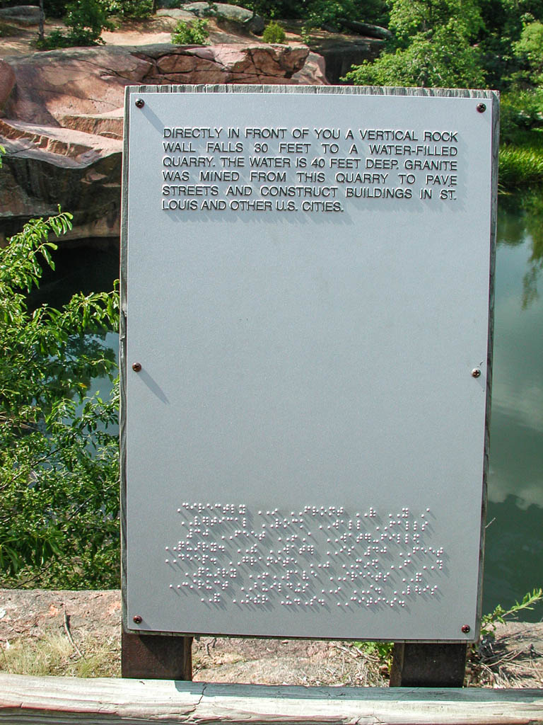
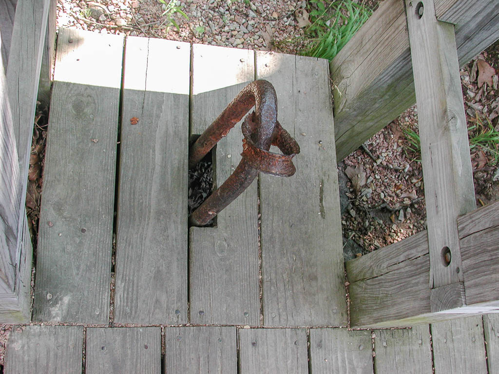
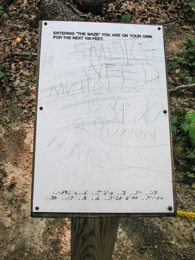
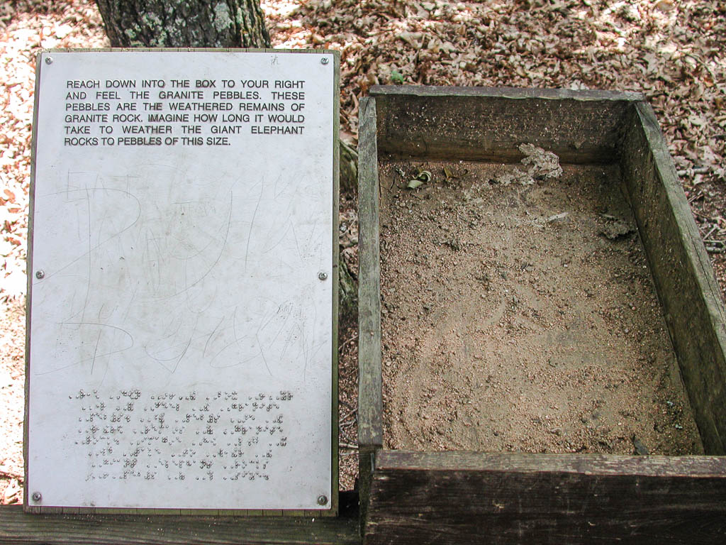
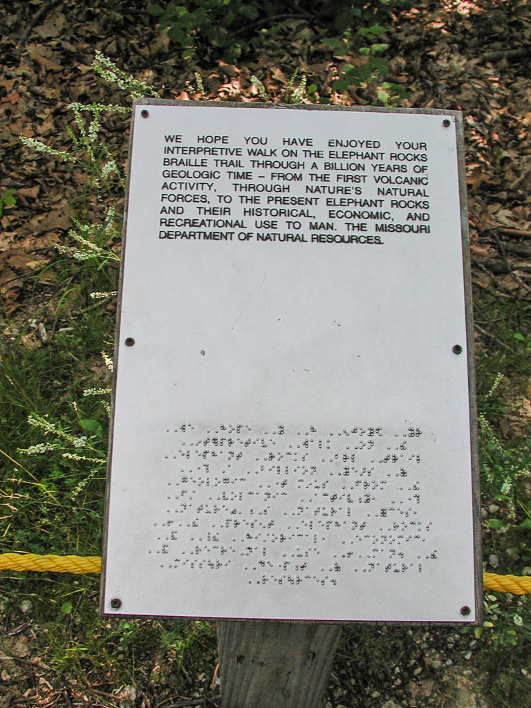
One of the more interesting features of this park is the Braille path. The only sign that would be trouble is the first sign at the information center. It was in the direct sun and running my hand over the Braille was way too hot after the first line. Dad and I both walked part of the trail with our eyes closed. You can feel when you are headed off the path and correct accordingly. When you need guidance during a particularly tricky area, a green mat of Astroturf is in the path. It was amazing how easy it was to tell the change in texture of the ground. Once you hit a mat, you feel for a rope on your right side. If you come to a knot in the rope, there is an information sign directly ahead. The sign have printed words up higher and Braille of the same thing (I assume, not being fluent) below. All in all, it was a well done park. Of senses to loose, I think sight has to be the most devastating. Hopefully some people who have will get joy out of the park.


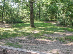
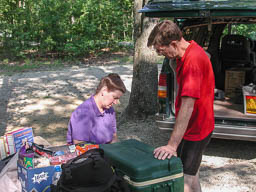
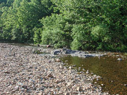
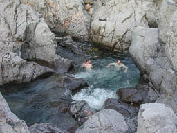
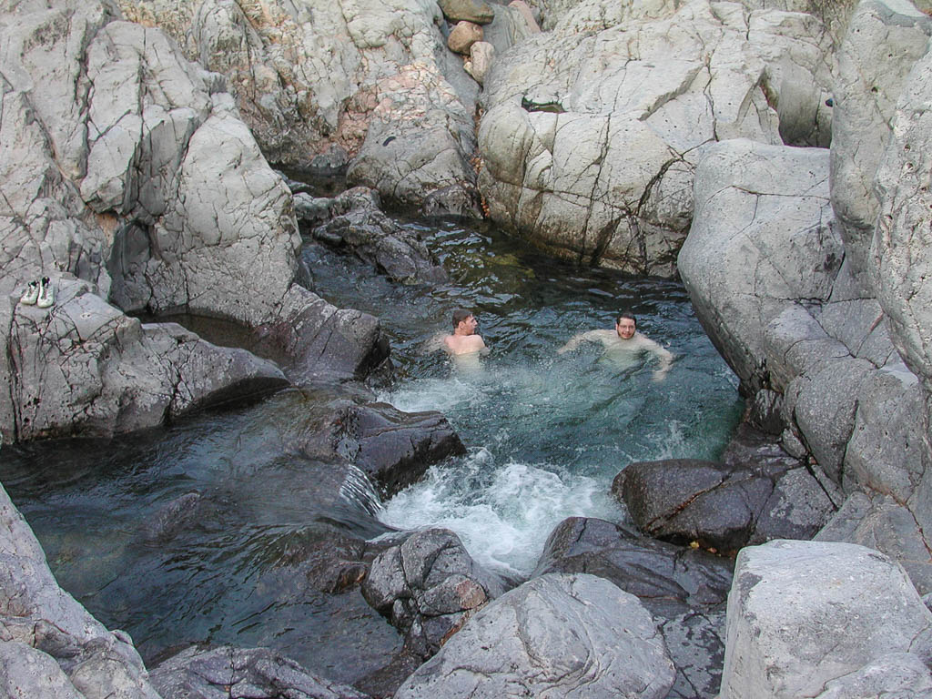
After heading back downhill and rejoining the route, we had some lovely fast rolling hills into Johnson’s Shut-Ins State Park. The smart way to get into the park is to pay the $8 for a primitive campsite. The park only allows the people for the 52 campsites and 100 more cars in the park at a time. It is a good thing too. However, the people who have to wait hours to get in don’t like it . There is a recurring problem with organization and planning in the parks. Mom had to wait over an hour to get a campsite, because the campsites are registered in the office in the park. Without a campsite, you have to wait to get in the park to register. It seems like they would have some type of link to the office. A simple call on the telephone or radio would keep people from waiting for hours. We went down to swim in the Shut-Ins and then had a shower. I’ll discuss more about the actual Shut-Ins tomorrow. After showering, we headed back to camp for dinner and sleep.
We didn’t ride far today, because there was so much to see and do. I rode even less tomorrow. But it is called touring, not riding. :)
Today’s stats: 3:33 riding time, 36.3 miles, and 1,470 feet of climbing.
Johnson’s Shut-Ins State Park, MO
Tent Site: 37 deg 32.821 min N, 90 deg 50.619 min W, elev 859 ft.
Trip Miles: 1369.1 miles
Part 40 of 48 in the Trans-Am series.
Series Start | Day 34 - Chester to Farmington | Day 36 - Layover Day at Johnson's Shut-In State Park